Rephotographing Walker Evans in Atlanta
Rephotographing Walker Evans in Atlanta
Joel Silverman, October 2026
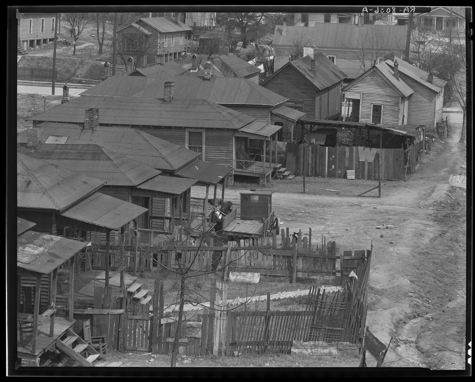
During the Great Depression, in March 1936, the documentary photographer Walker Evans spent a single day photographing one Atlanta neighborhood for the Farm Security Administration.
I’ve known about these photographs forever, but never knew exactly where they were taken. As far as I know, nobody ever figured it out before now.
For a Drift the Map walk, I decided to track down the exact location of every photograph Evans made that day and stand where he stood nearly 90 years later. There is not one house in these photographs left standing from that day in March 1936. But I was able to track down the location of each of these photographs to within 10 feet using just a few maps and the “close looking” skills that every photographer shares. Everything you need to know to find the spot where Evans stood can be found in clues in the photographs themselves.
The Lochner Report
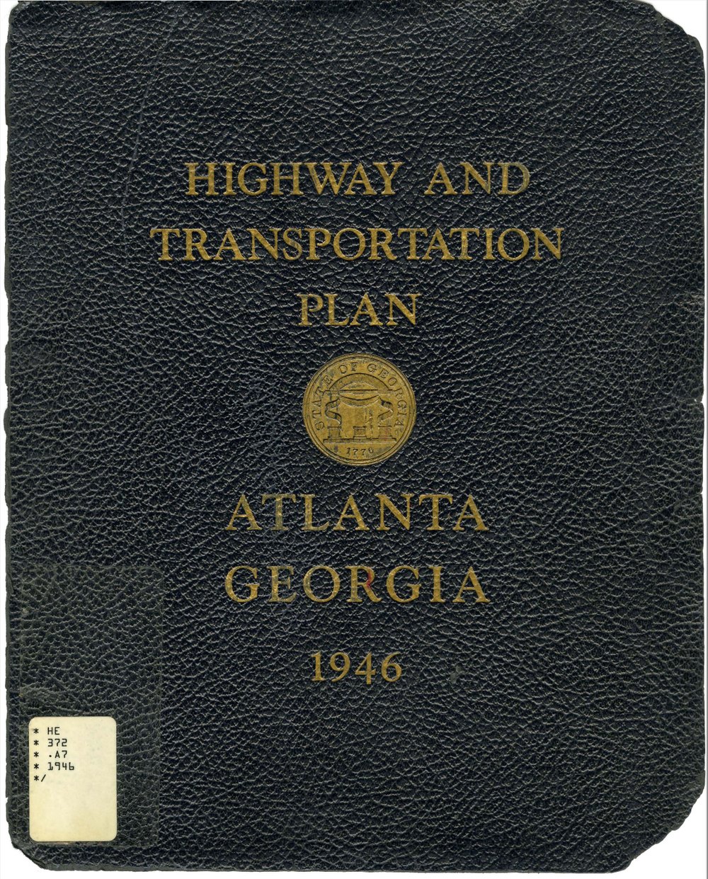
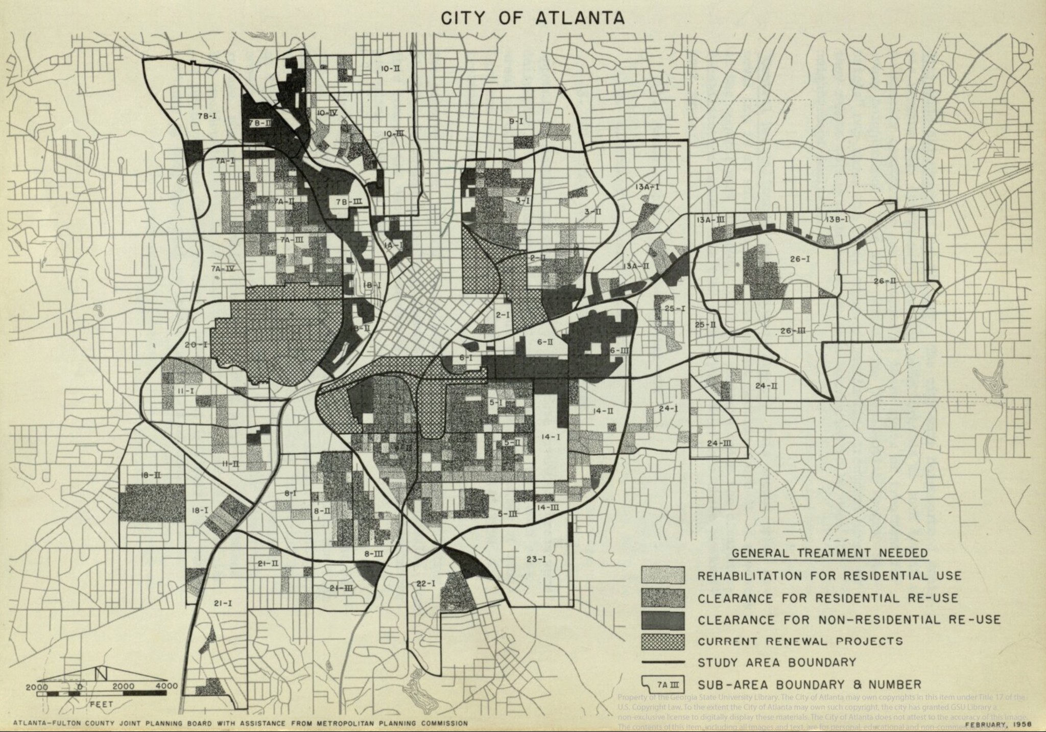
The 1946 Highway and Transportation Plan for Atlanta, Georgia, commonly known as the “Lochner Report,” explained the city’s eagerness to knock this neighborhood down. The Lochner Report created the game plan to route the new interstate highways so that they would rip through Atlanta’s downtown, with I-20 separating north from south, and I-85 carving Atlanta into an eastside and a westside.
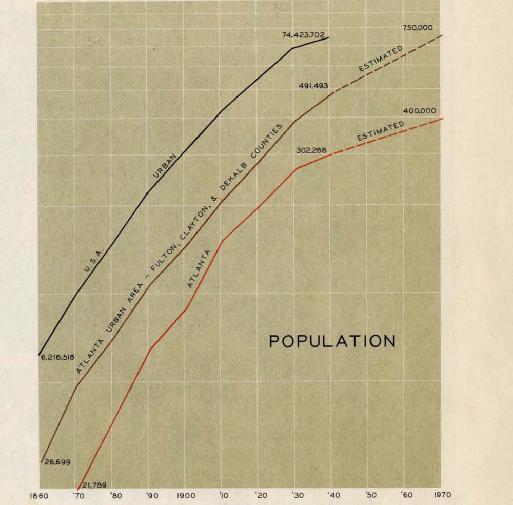
Atlanta was booming, people were moving here, there was already a diminishing number of lots left to build new houses, and the city was worried that the perception of run-down neighborhoods was making the “New South” look old.
The city designated certain neighborhoods to demolish and displace in an era when people knew that, eventually, federal courts would dismantle Jim Crow segregation — this report was commissioned about eight years before Brown v. Board of Education — and it is widely considered that the Lochner Report was a scheme by Atlanta’s power structure to make the inner core of downtown both whiter and less residential. That’s why you have the highways being built at the same time as Atlanta’s suburbs.
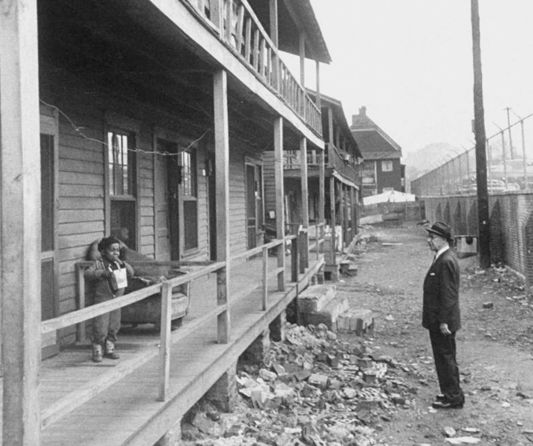
Here is Mayor William B. Hartsfield (the Hartsfield of Hartsfield-Jackson Airport) inspecting the neighborhood he has just ordered demolished, already surrounded by razor wire, as if it were a prison.
Slums? Or a community?
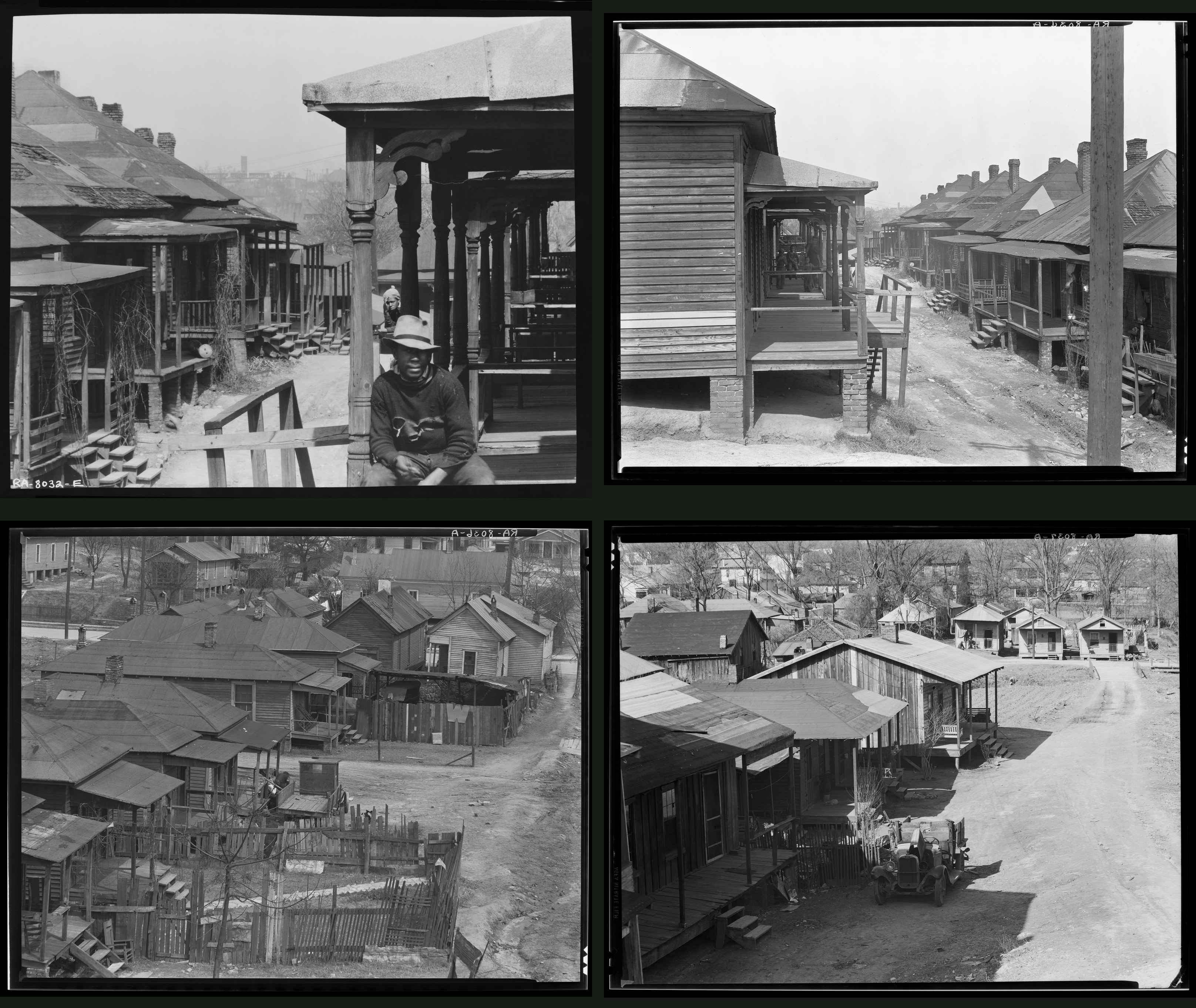
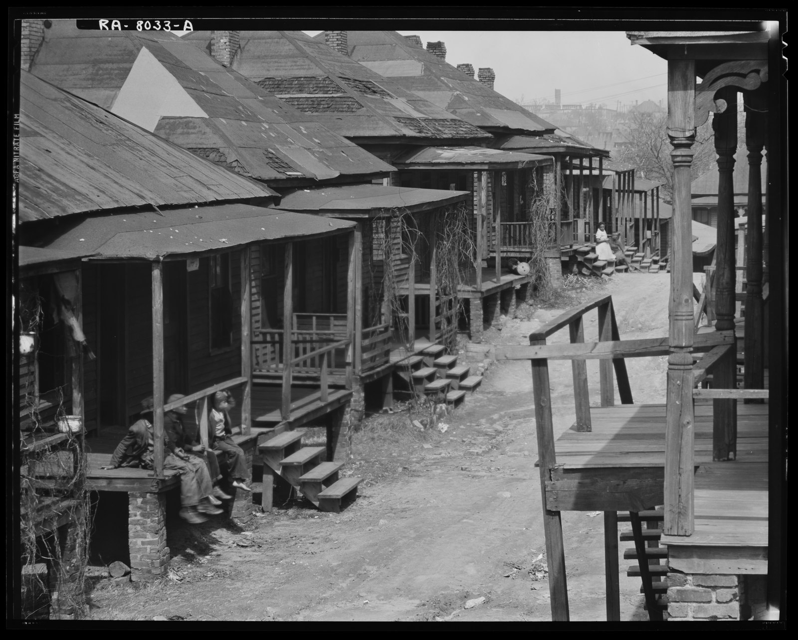
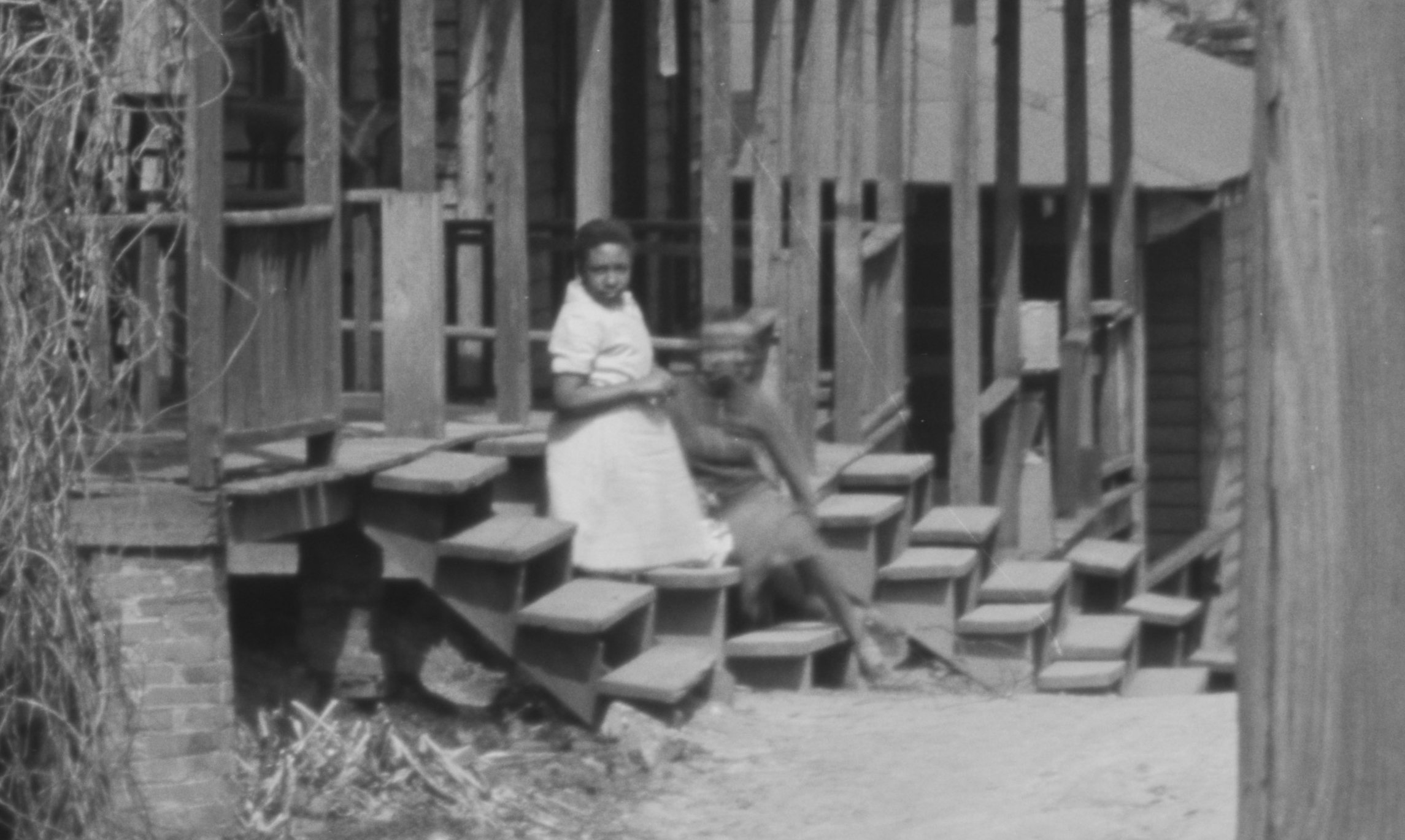
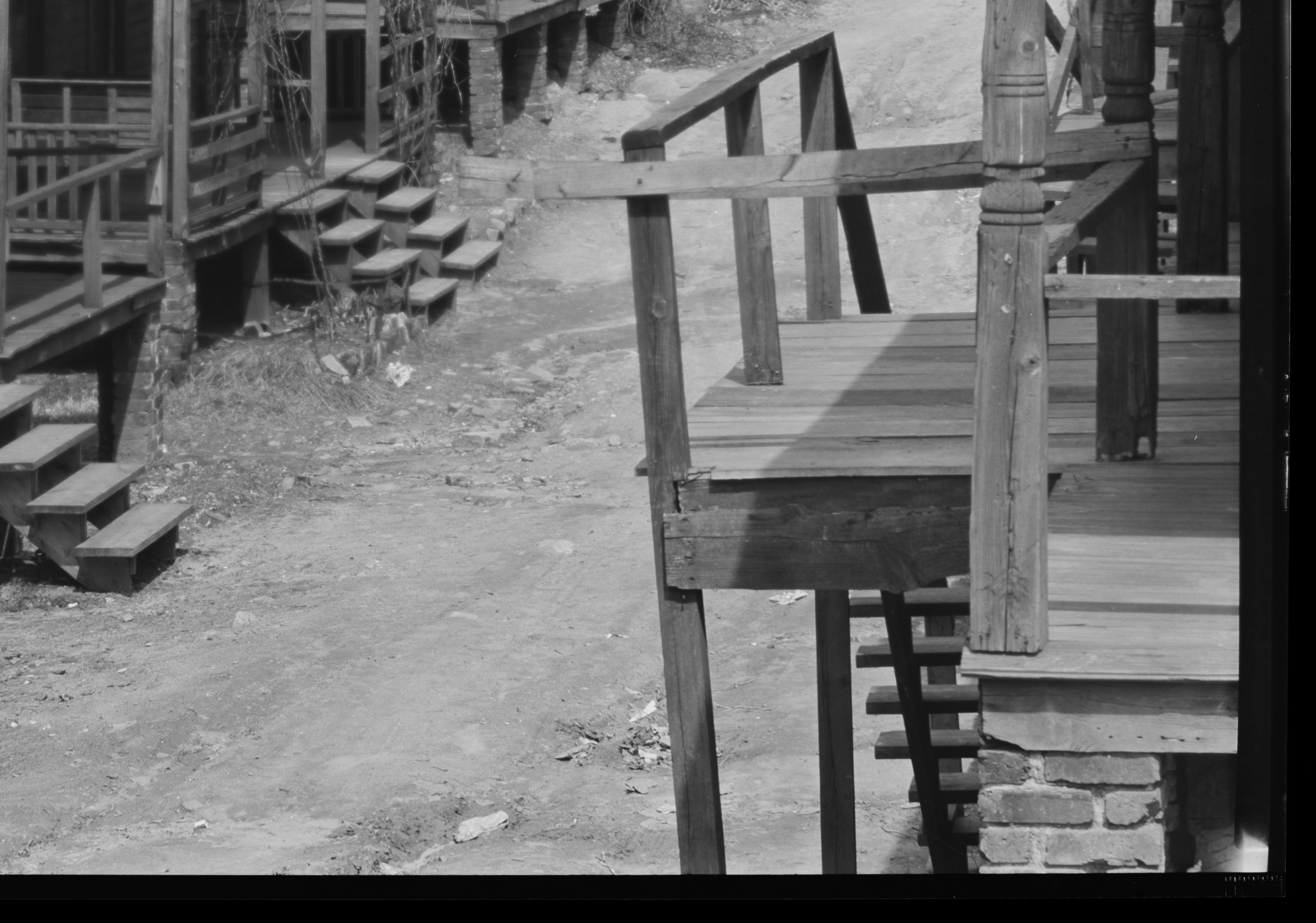
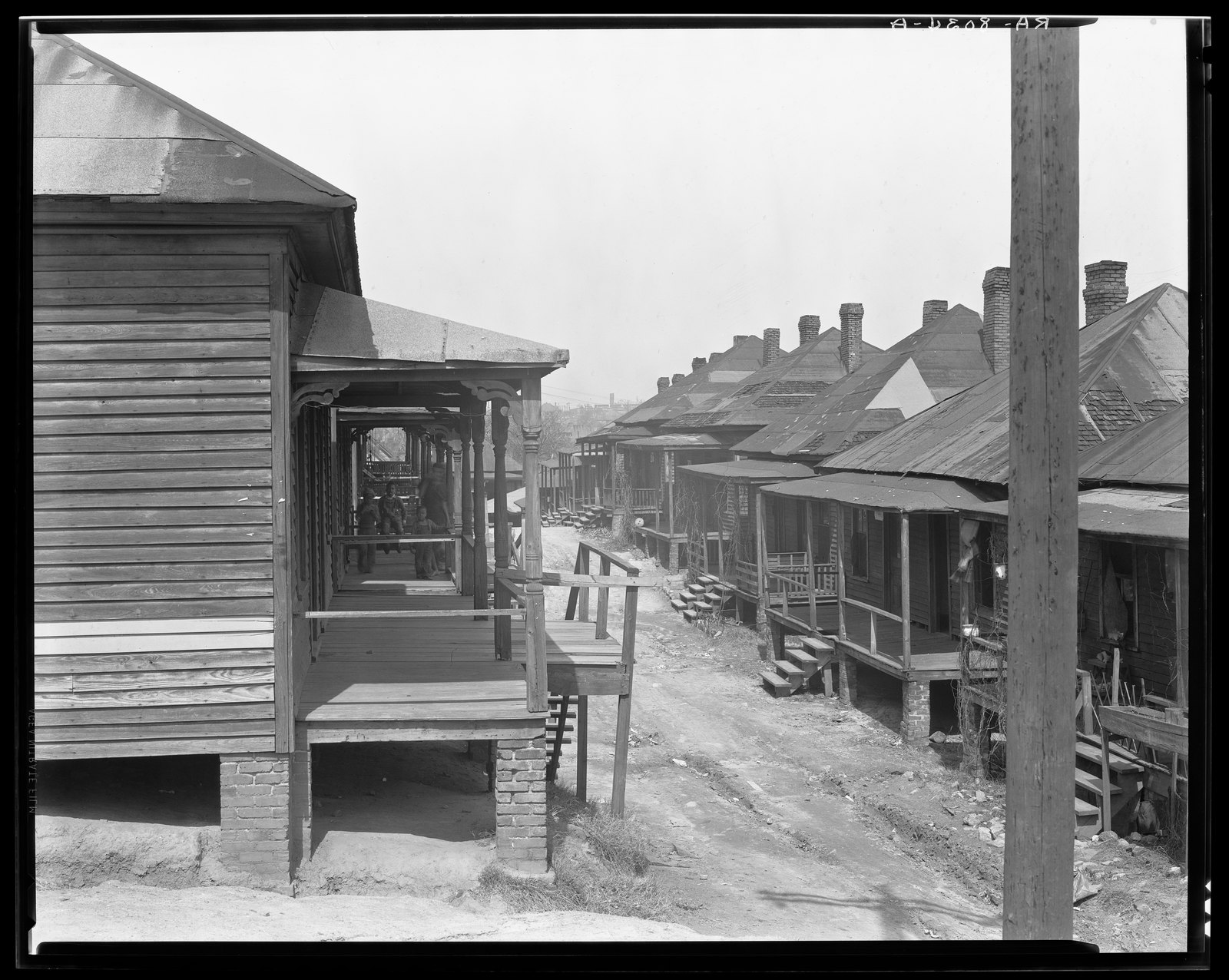
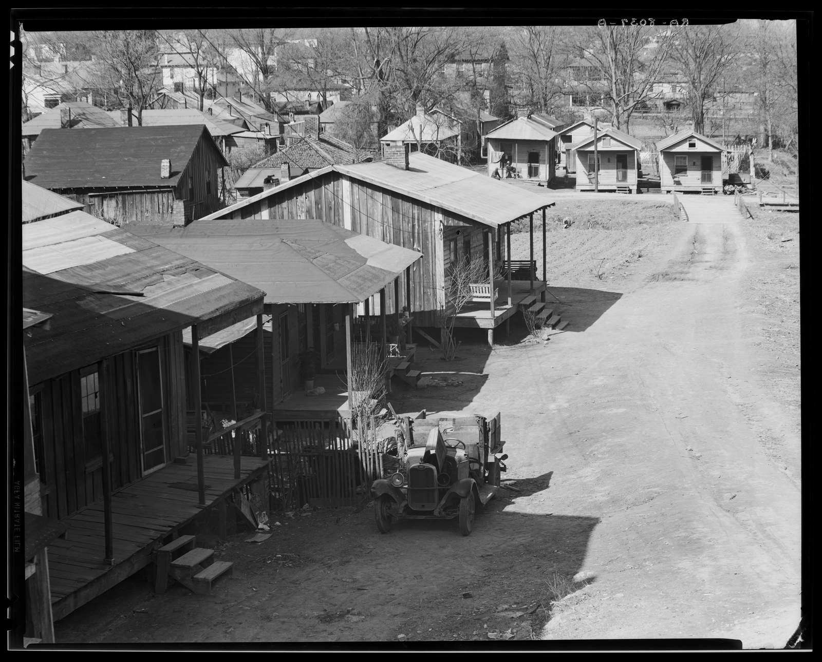
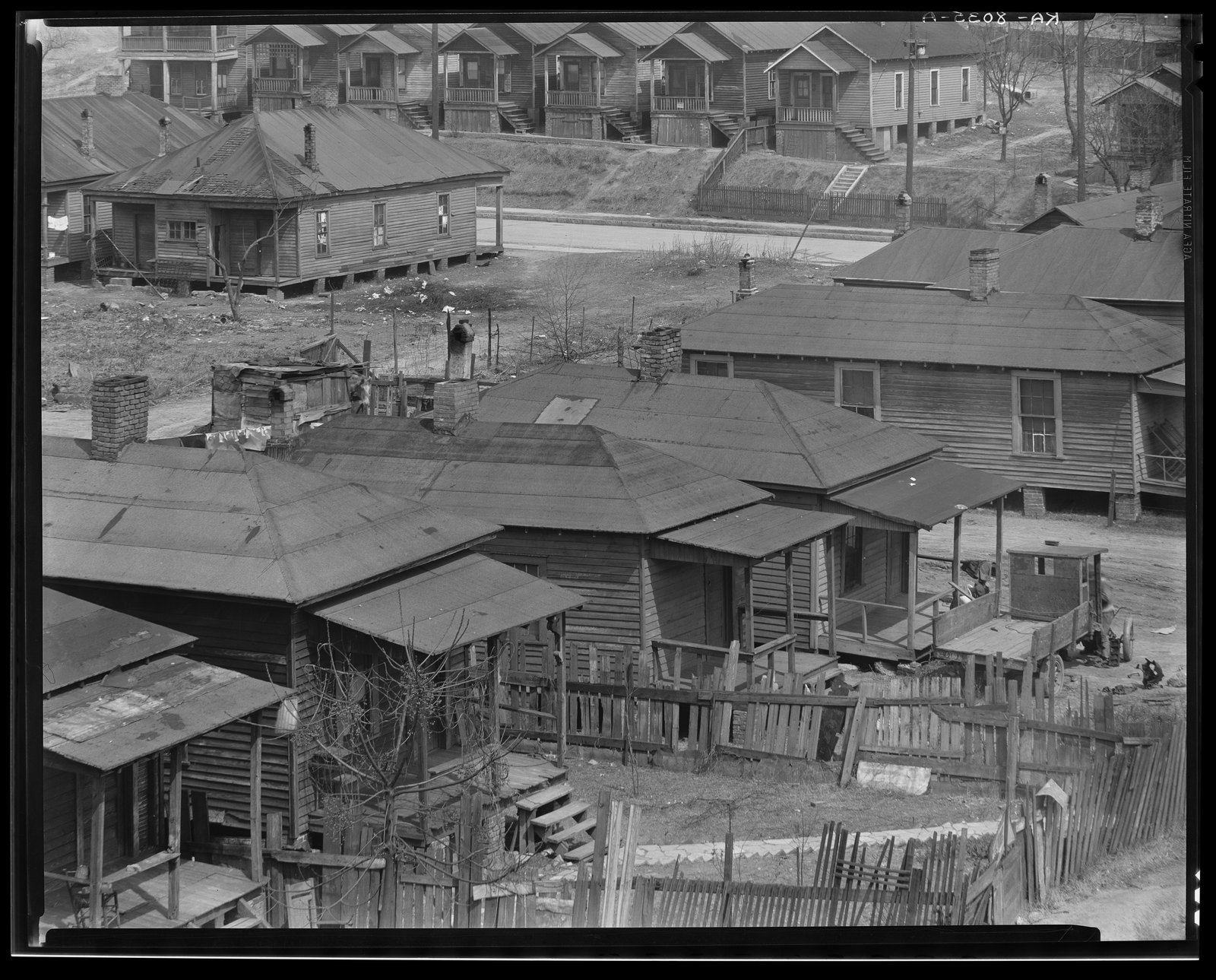
Which brings us back to the dozen photographs that Walker Evans took on that March day in 1936, a quarter century before the wrecking ball tore it all down. When most people look at these, they see what appears at first to be fairly depressing images of intense urban poverty. Just shacks on dirt streets. The City of Atlanta called them slums. Walker Evans saw a community.
Evans’s hallmark was his insatiable curiosity, without judgment, about how people lived: what their houses were like, what trace they left on this world.
He got people to agree to let him set up on their porches so he could make these photographs.
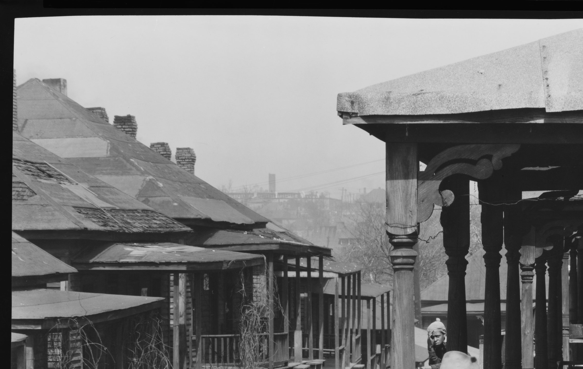
He even got people to let him climb up on their rooftops.
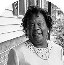
The neighborhood Evans saw that day was later remembered by neighborhood resident Sarah Fitten. She wasn’t even born until eight years after Evans made these photographs, and she died in 2023 at age 79 — That’s how long ago these photographs were made — more than a long lifetime ago. Fitten was once asked in an oral history if the neighborhood was a “slum,” and her response was:
“I would say that is not true. That’s an absolute lie. And the reason I say that is I don’t care where you live, all of the streets are not going to look the same. Yeah we have some streets that had some gravels on them. [But] it’s just as run down as it is anywhere else with slum landlords. But it wasn’t that bad, you know a lot of people owned their homes over there. And the ones that rented their homes, I think that if anything looked bad it was because the landlords didn’t keep them up, and they weren’t owned by the people that were living there. They were owned by people of other colors. So when they was able to buy them sugar shacks from ’em they bought them and fixed them up as best they could. That area had a lot of working class people—oooh, they worked! My mother worked. My stepfather worked. They worked. A lot of ’em worked two jobs. And everybody knew everybody. Everybody loved on everybody.”
Close looking
The incredible thing about these photographs is that Evans was shooting with an 8x10 camera, with so much detail, and these images are so carefully chosen, that all these incredible details emerge when you blow them up. They help us consider that the term “slum” was designed to make people ignore the fact that these were communities. These were neighborhoods.
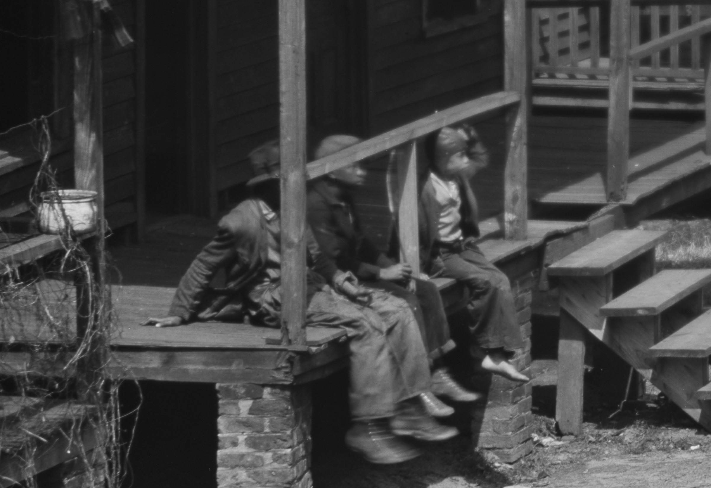
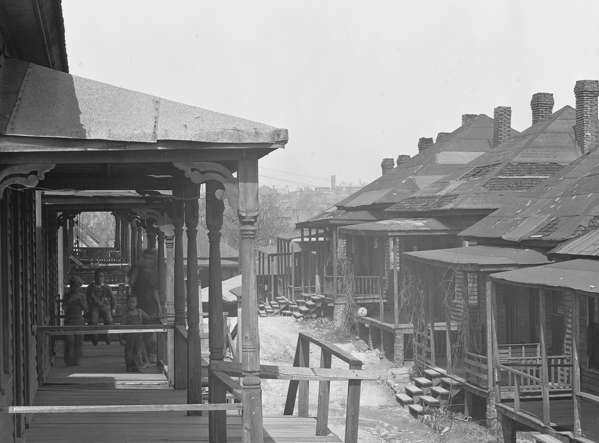
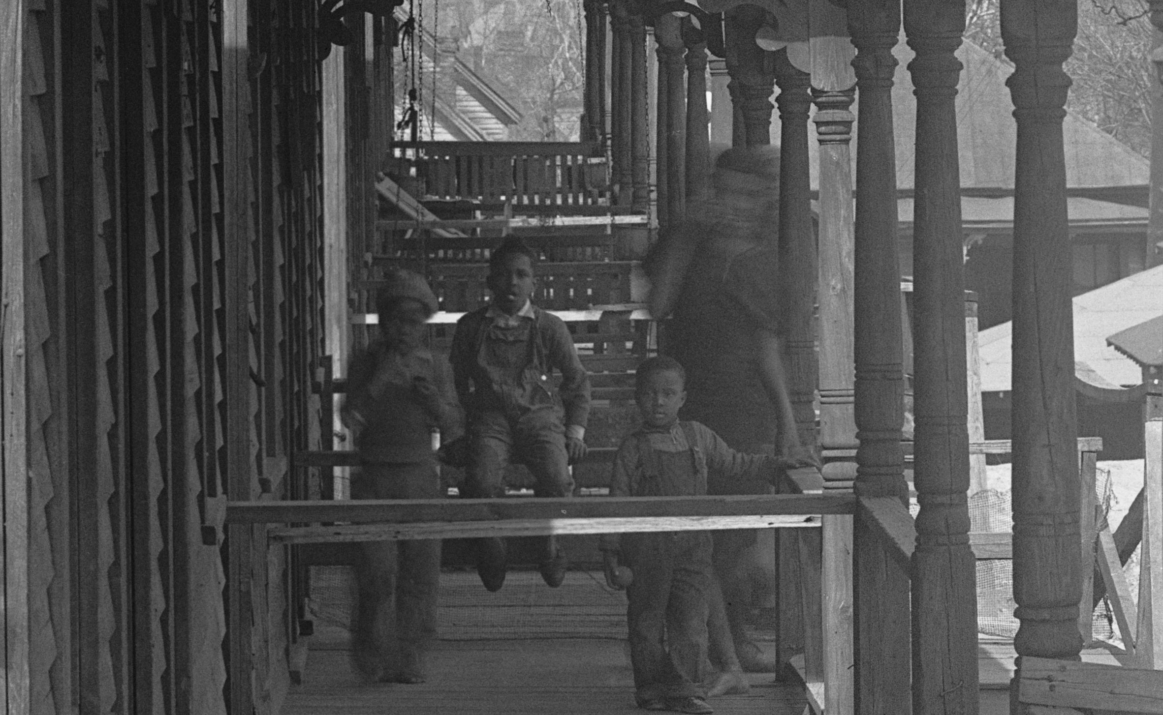
When you zoom in, you see this group of brothers on a porch.
I think the oldest one is flipping Walker Evans the bird.
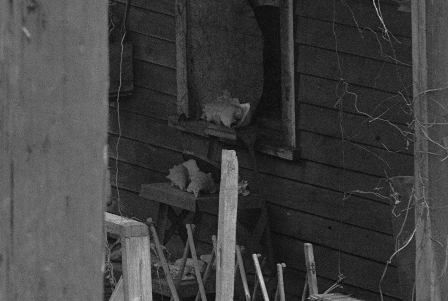
You see treasured shell collections in window sills, maybe brought back by this neighbor from a trip to the beach in Florida.
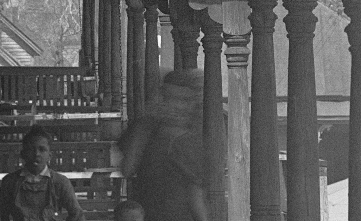
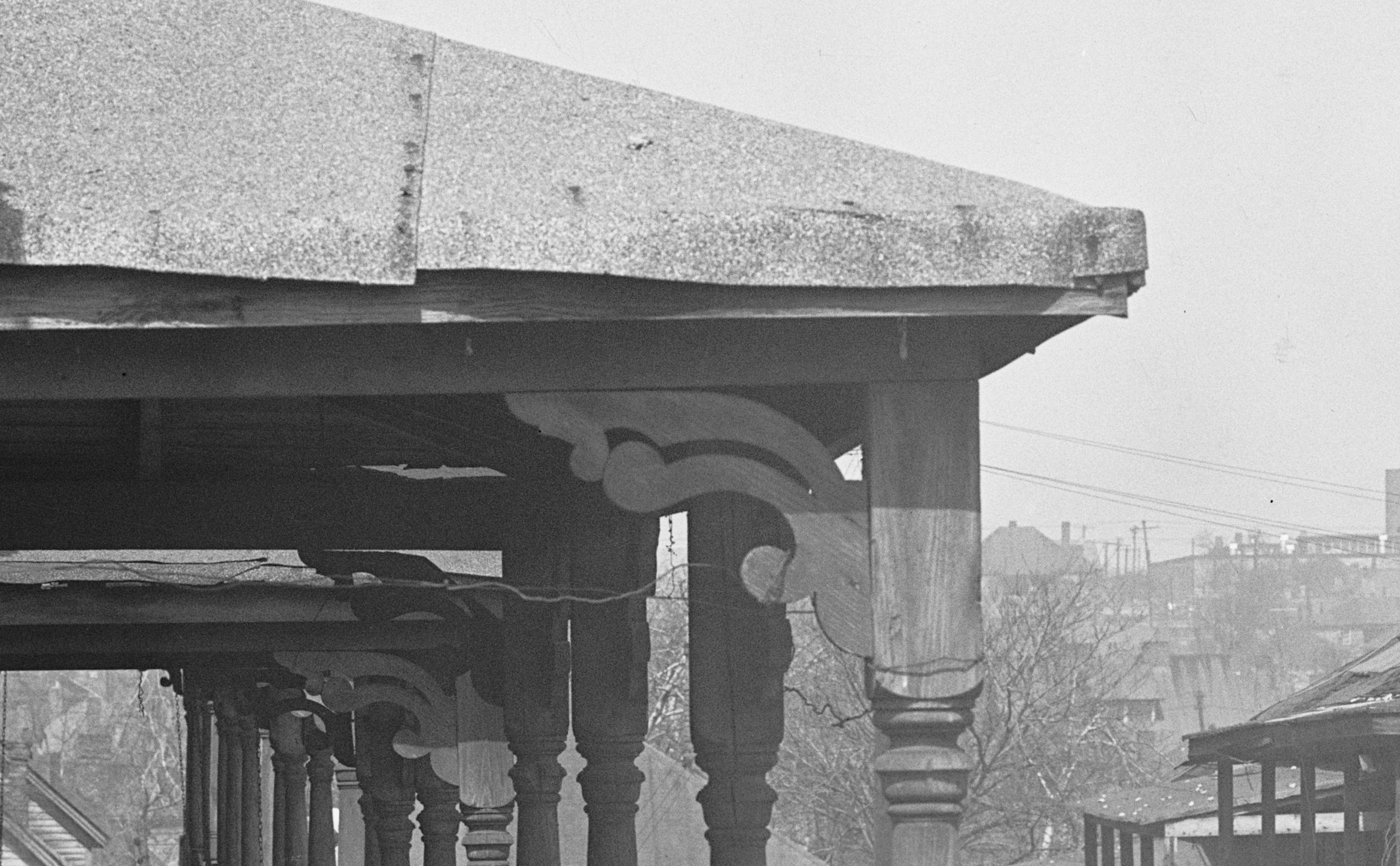
You see careful architectural details.
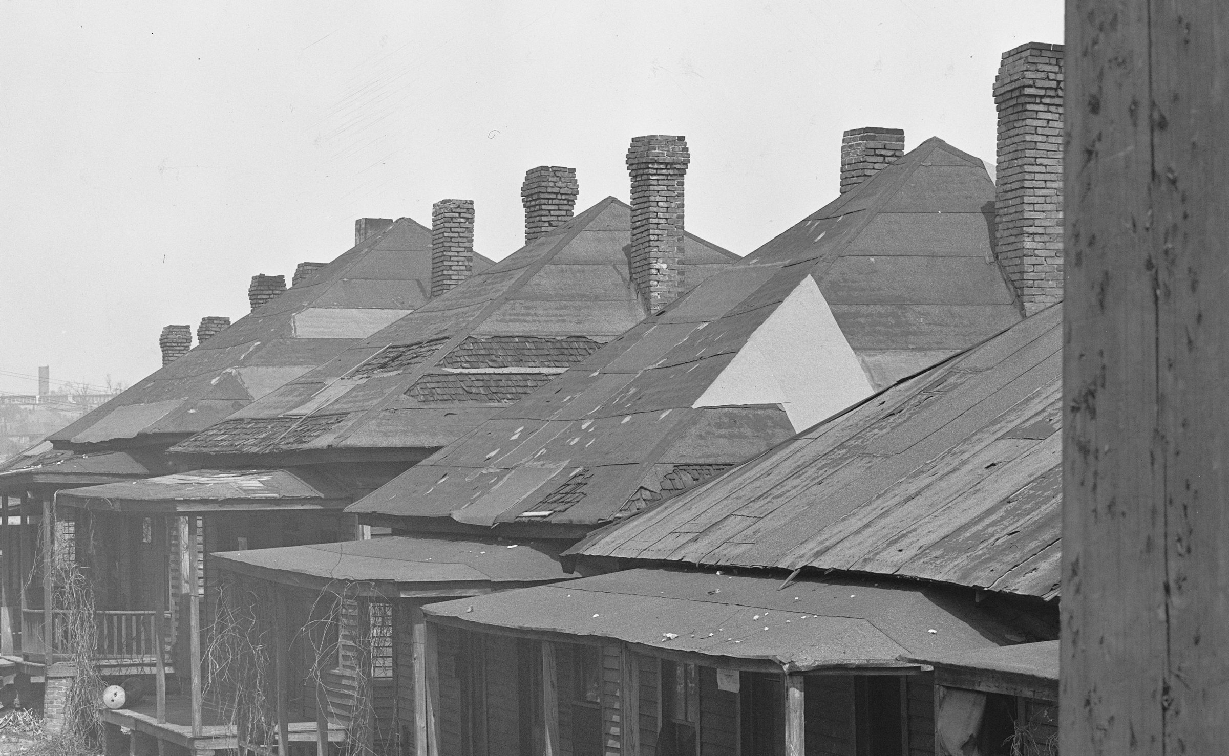
You see much-loved houses, all built at the same time after the Civil War, still surviving in the 1930s with patched roofs.
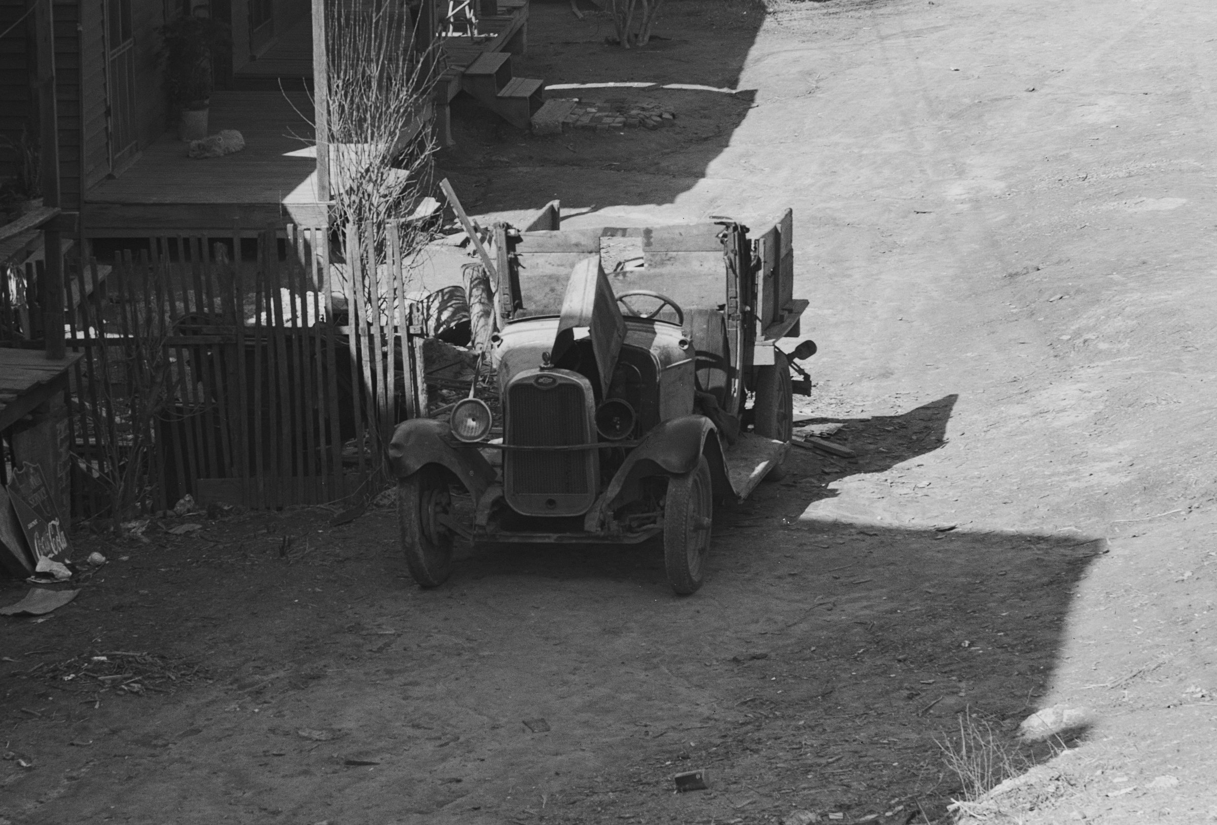
You see early motor vehicles, like this Ford Model AA truck, in a community where almost nobody could afford a car, driven until the wheels have practically fallen off.
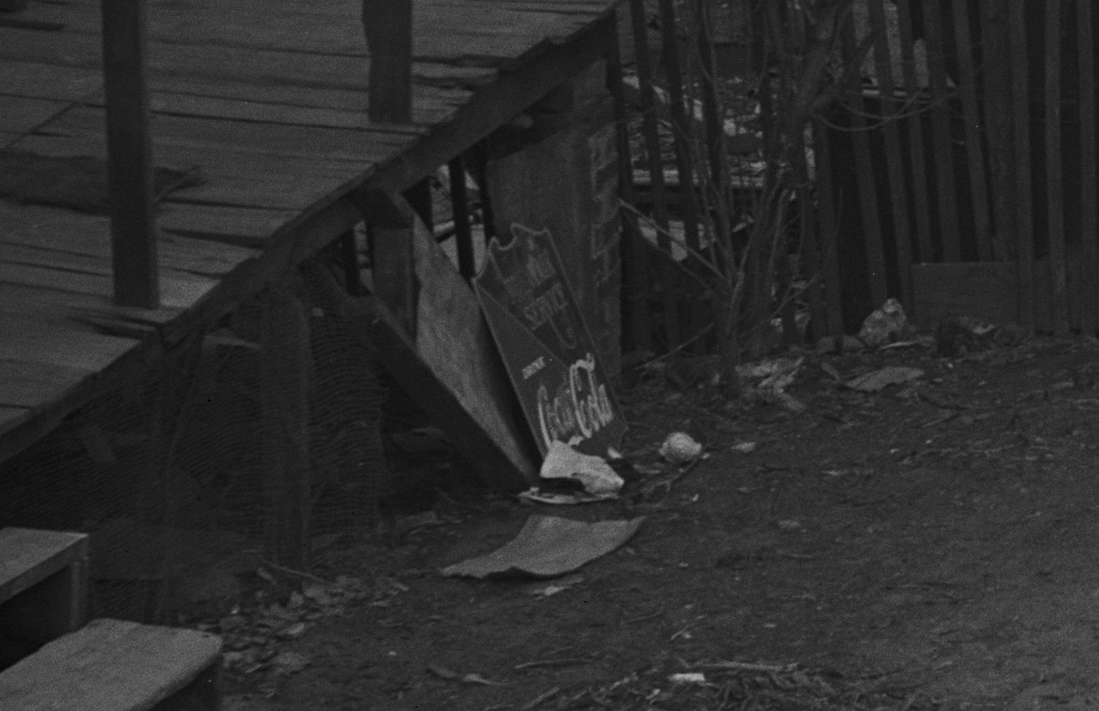
You see early Coca-Cola advertisements collected as antiques. Coca-Cola was only 50 years old at the time, but this homeowner is saving a Coke sign as yard art.
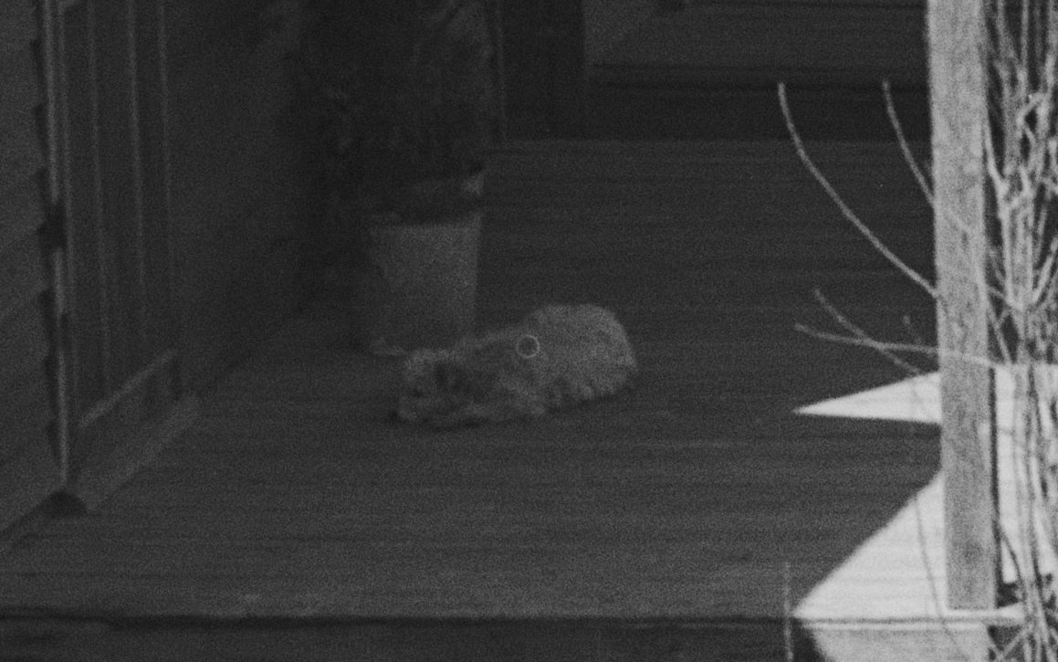
You see dogs sleeping on porches. This adorable guy has been dead for 90 years. That’s 630 years in dog years.
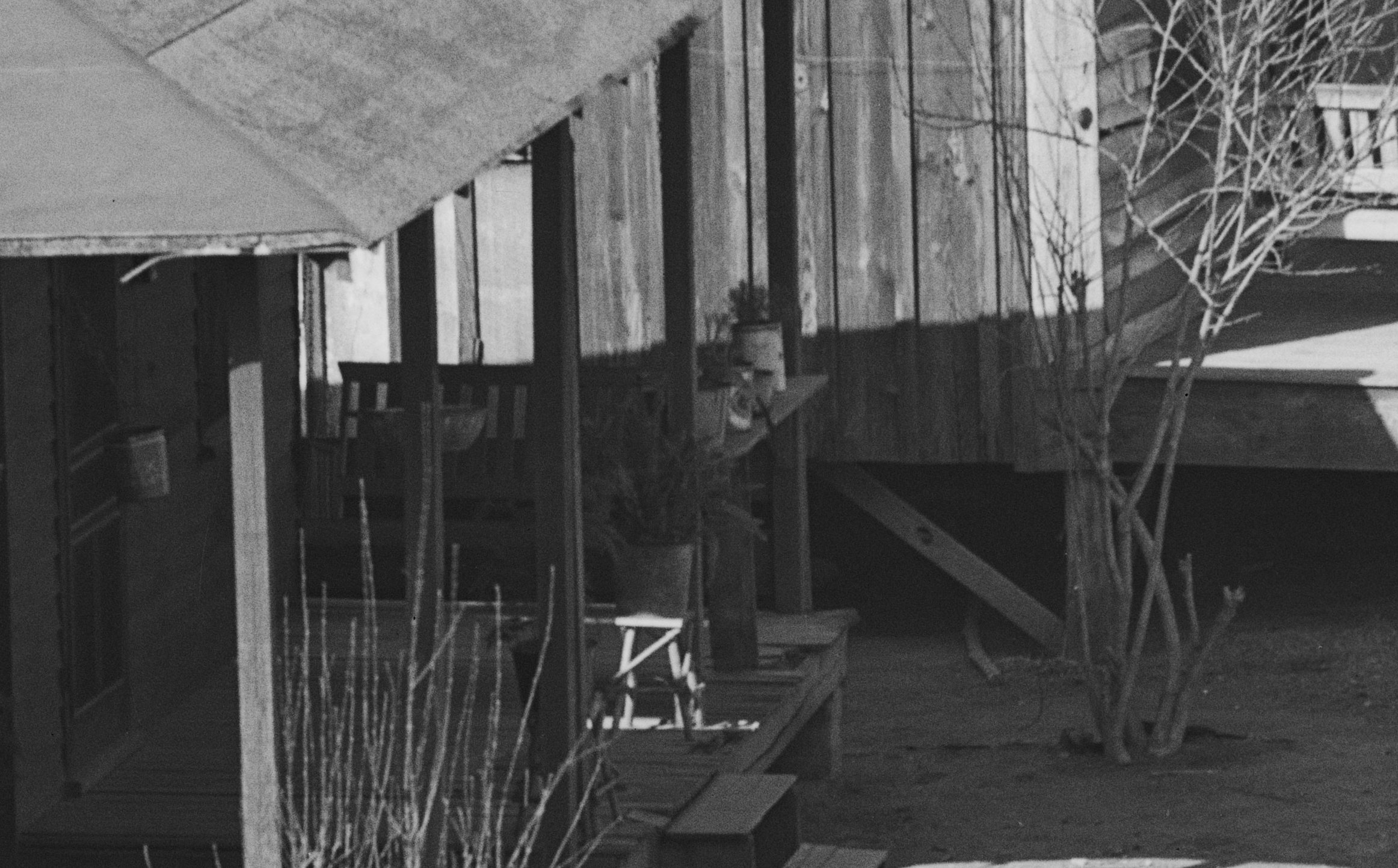
You see carefully tended houseplants on these porches.
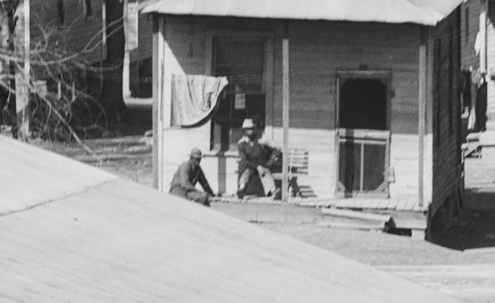
You see old friends sitting and having a beer on a porch on an unseasonably warm March day.
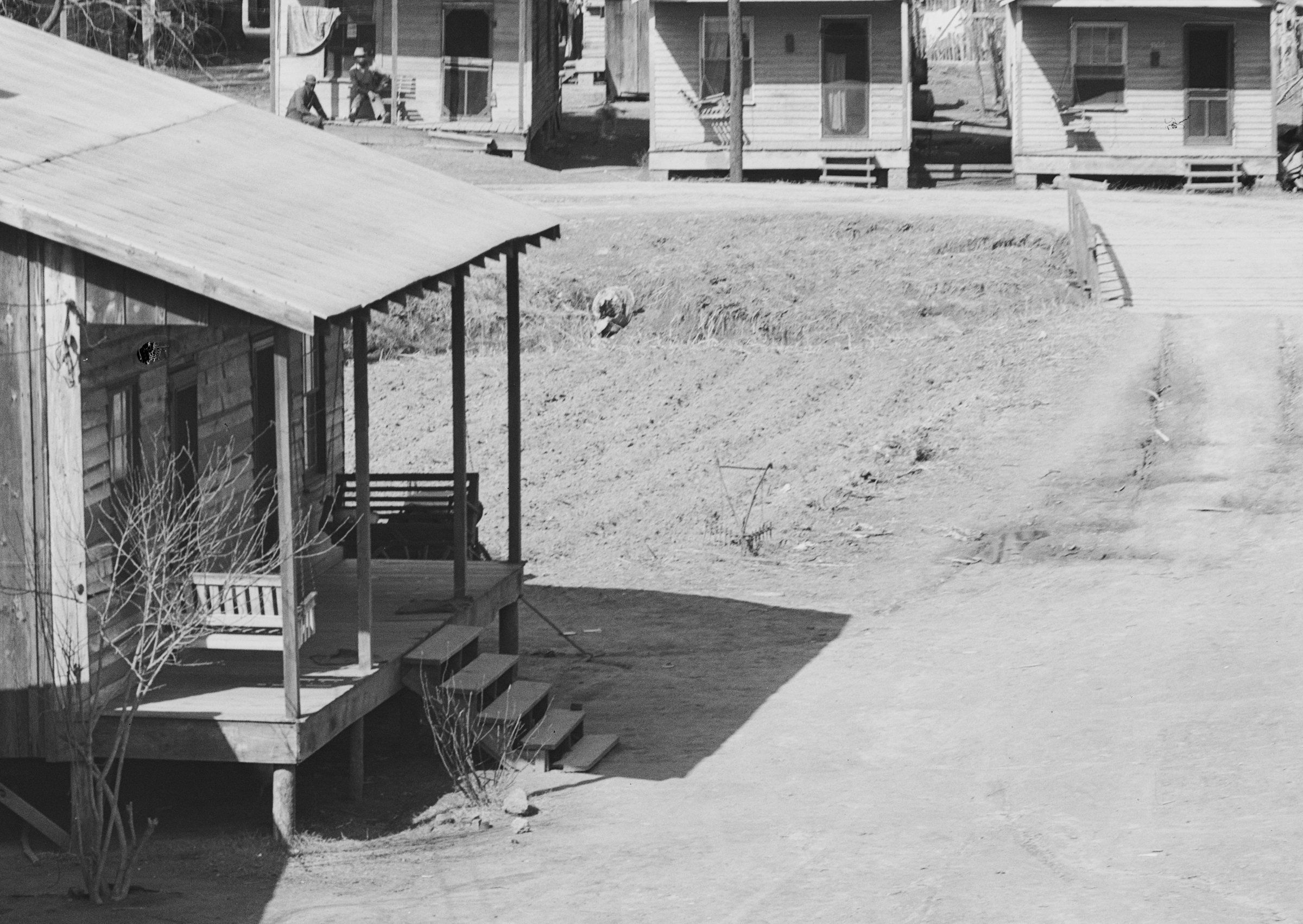
You see that this family might live in the middle of the city, but they had an empty lot next door, and they were going to be damned if they weren’t going to plow it on this unseasonably warm day in March and plant sweet potatoes in it.
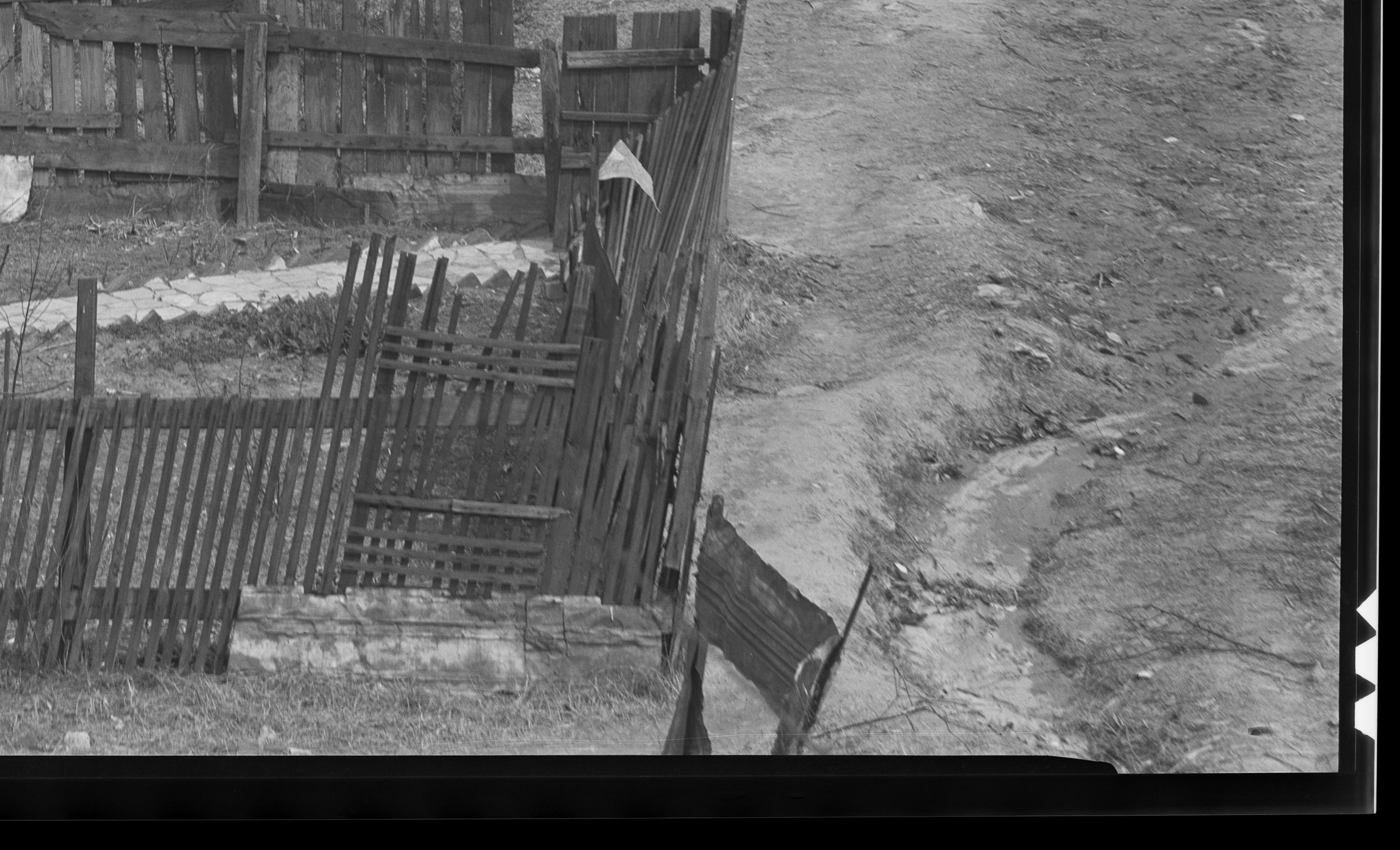
You see the drainage ditch that gave the neighborhood its name (more on that below). The poorest part of town was always going to be the lowest part of town, the part that flooded first.
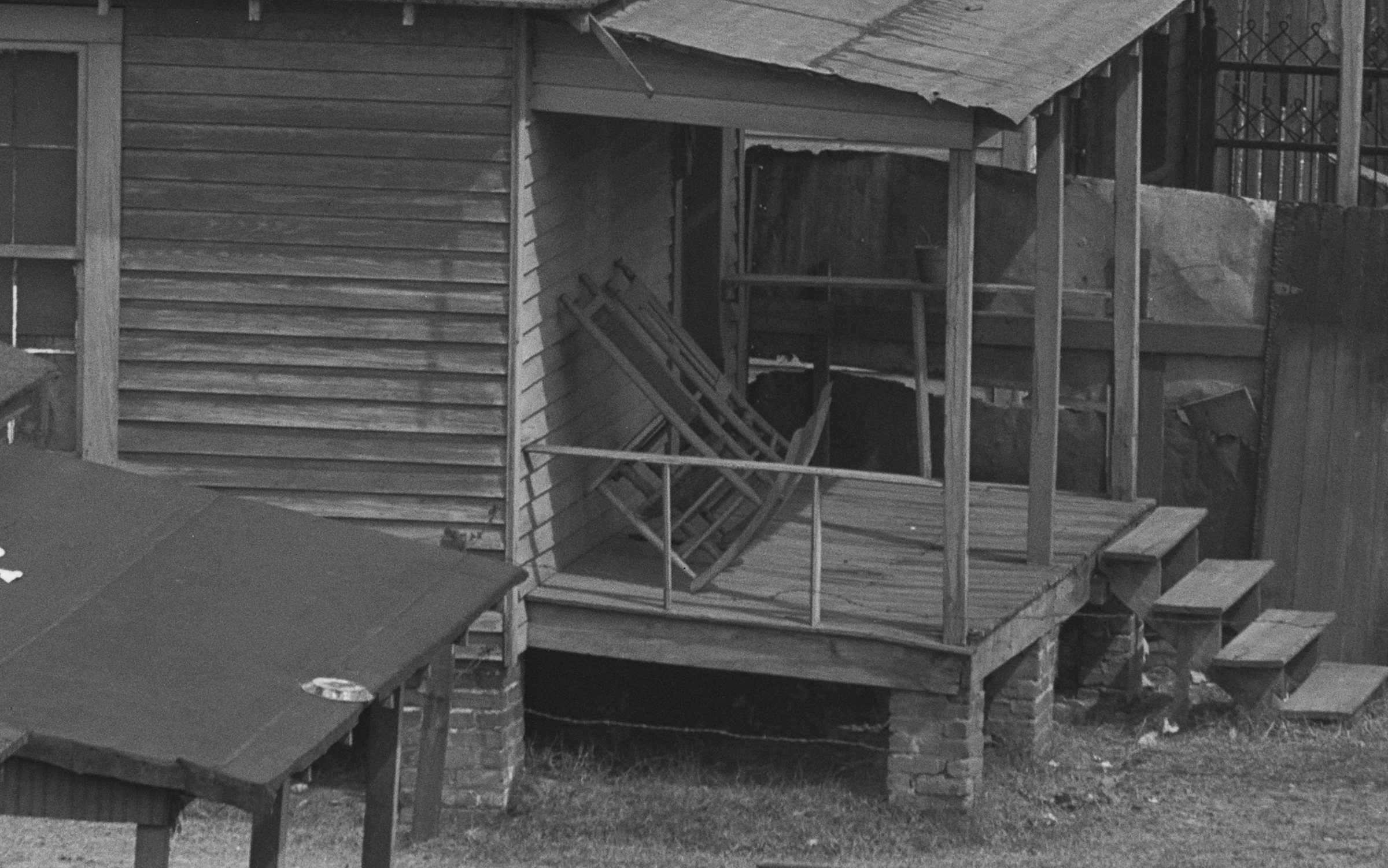
You see the pride of the homeowner: even though the floorboards of their porch are warped and bouncy, they still lean the rocking chair against the wall so they can sweep it every day.
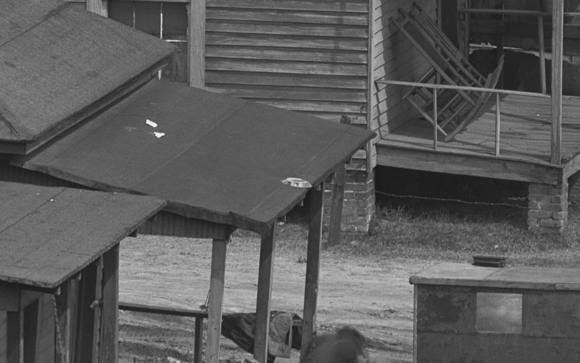
You see the pie tin on the roof from when the neighborhood kids were playing Frisbee with it that one time.
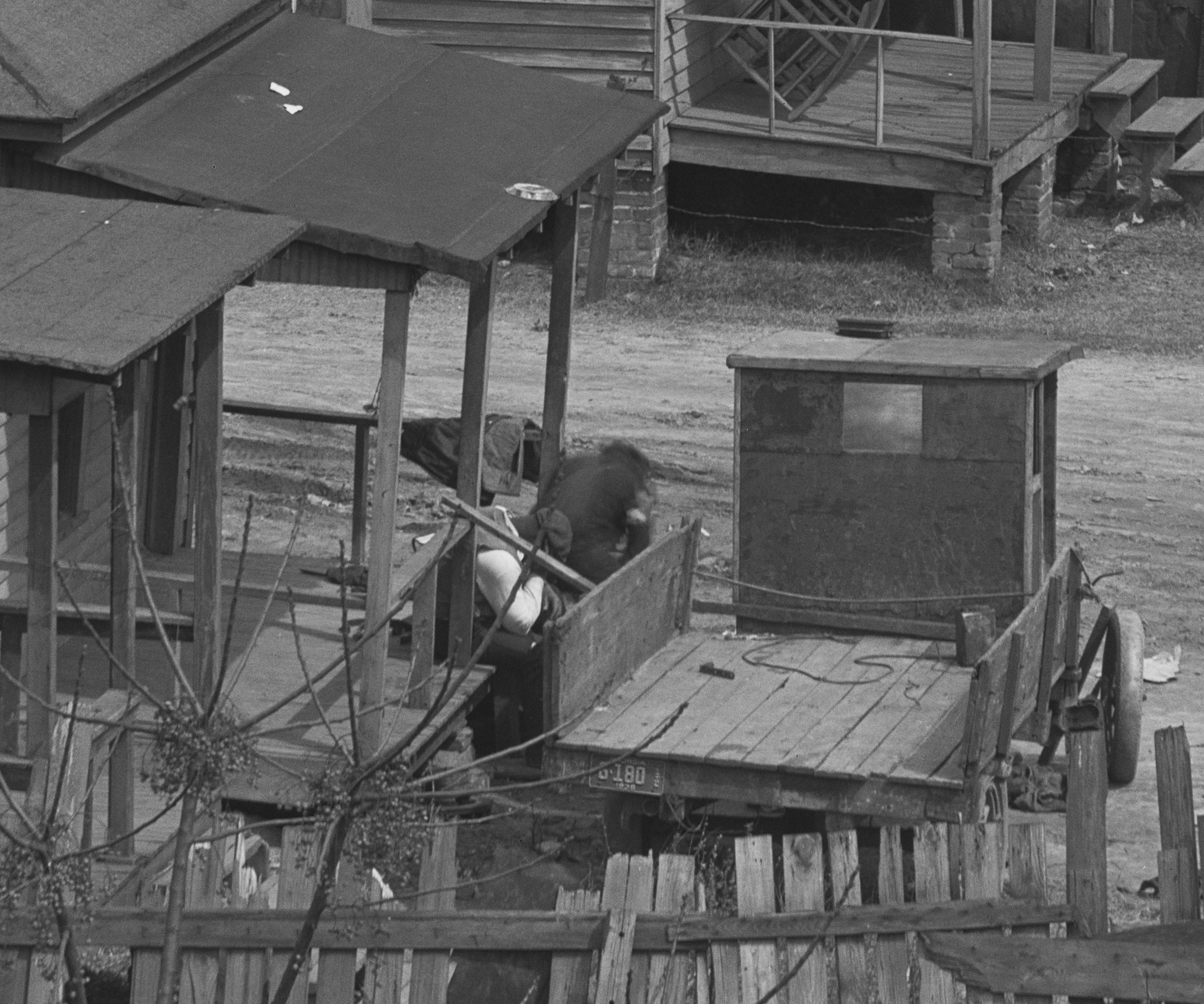
You see a scrap man unloading his truck with his day’s haul to be sorted. If you’re me, with long-time family ties to Atlanta, you remember stories from your great-uncle, who worked in your great-grandfather’s scrap business and drove around town with a driver from this neighborhood. And you wonder if this man in a picture from 1936 might have known your great-great-grandparents, who lived just a mile away from here.
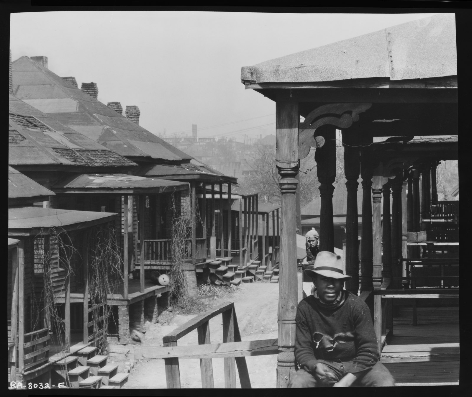
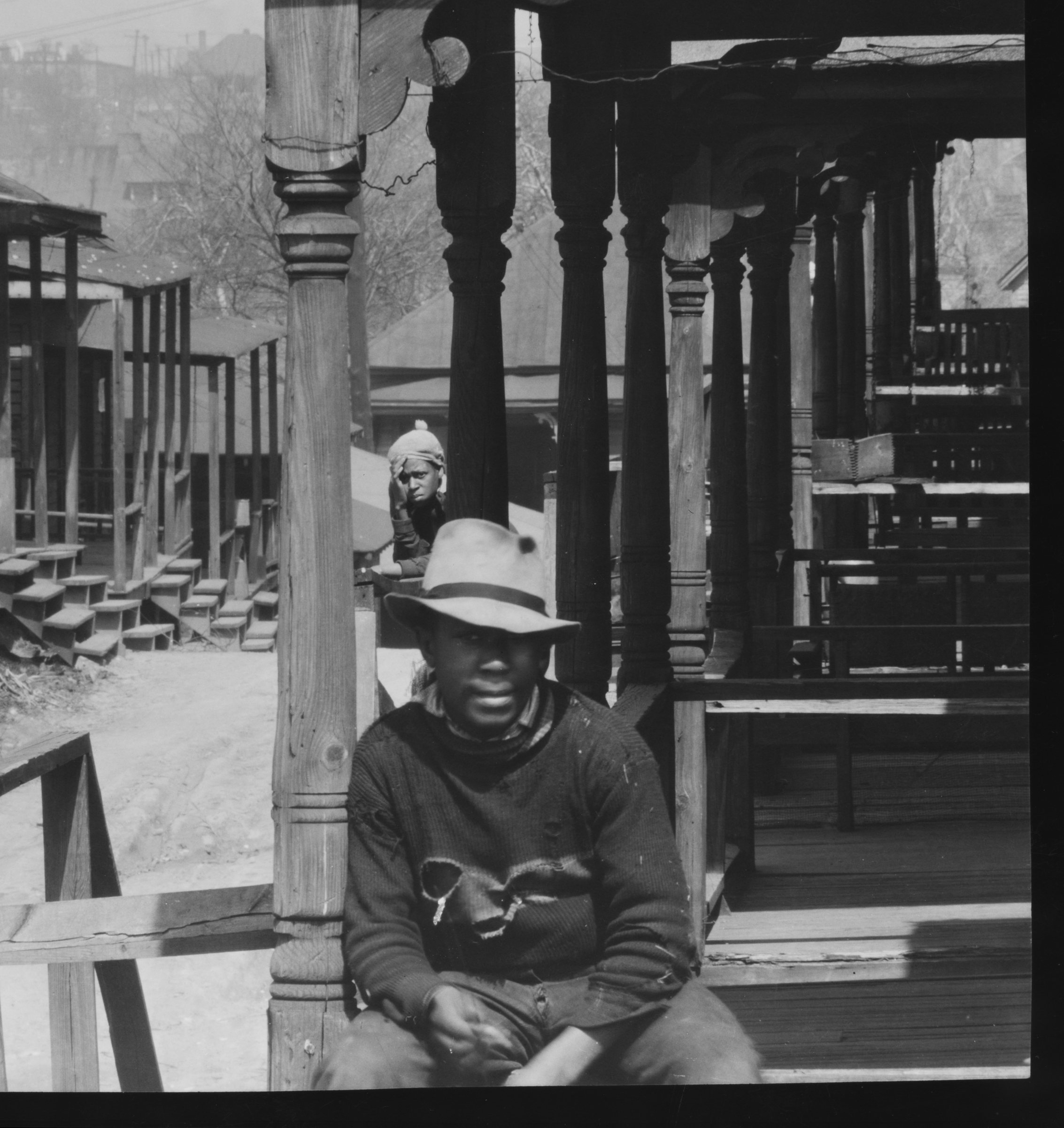
You see three brothers: one wearing a jaunty fedora, one a newsboy cap, and the youngest a leather aviator helmet like the ones pilots wore in World War I. Maybe he dreams of being a pilot one day, although there would be no Black american commercial airline pilots for another 27 years, until 1963.
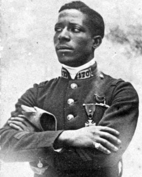
Perhaps he dreamed of being Eugene Jacques Bullard, America’s first Black pilot to fly in combat and the only African American pilot to fly in World War I. Or maybe it’s just a cool hat. Photographs can’t speak; you can only flesh them out with your imagination and the context of your lived reality.
You see people on their steps, curious about this stranger with a giant 8x10 camera, but not wary of him. Walker Evans just had this way about him, a kind of smile and a twinkle in his eye that let people know he wasn’t really up to anything. He felt at home everywhere, and he was welcomed everywhere.
This is why when I teach photography, I ask students not to look at photographs too quickly. It’s what Sherlock Holmes means when he tells Dr. Watson, “You see, but you do not observe.” Because then you start to ask yourself: if it’s “just a slum”, why bother to replace rotting floorboards with a brand-new porch?
Maybe the first thing you see is all the holes in his sweater and in his pants, but then you think about how good he knows he looks in that jaunty fedora, and you wonder if all that straw covering his sweater might not be from wrestling with his best friend who lives next door. And maybe that’s why he has so many holes in his sweater?
A dead end in Beaver Slide
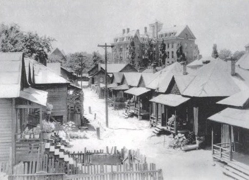
I went down a rabbit hole that turned out to be a dead end. Some people who look at the Evans photographs peg them as being taken in Beaver Slide, one of Atlanta’s earliest tenement communities, documented as early as 1882. It lies in the shadow of Atlanta University; that’s Morris Brown College’s Fountain Hall in the background. When this photograph was taken, W.E.B. Du Bois had his office there. That building still stands today.
I thought Evans might have photographed in Beaver Slide because this community was torn down by the city only the year after he made his images, in 1937. The neighborhood was replaced by the University Homes public housing project, which itself was demolished in 2008. There were rumors of the residents’ impending eviction when Walker Evans visited in 1936, and I thought he surely must have wanted to document a neighborhood on the verge of erasure.
I figured Walker Evans would have known about Beaver Slide from the Peg Leg Howell song Beaver Slide Rag, a famous 1927 ragtime blues song named after the neighborhood. Walker Evans had a broad fascination with vernacular culture that extended beyond photography to American folk, blues, and early jazz. He was known to have an extensive record collection, and had an appreciation for music that aligned with his documentary approach to photography; both were ways of capturing the authentic, unpolished realities of American life. Peg Leg Howell was one of the first recorded artists of the Atlanta blues scene, and by 1923 he was playing on street corners, mainly around Decatur Street.
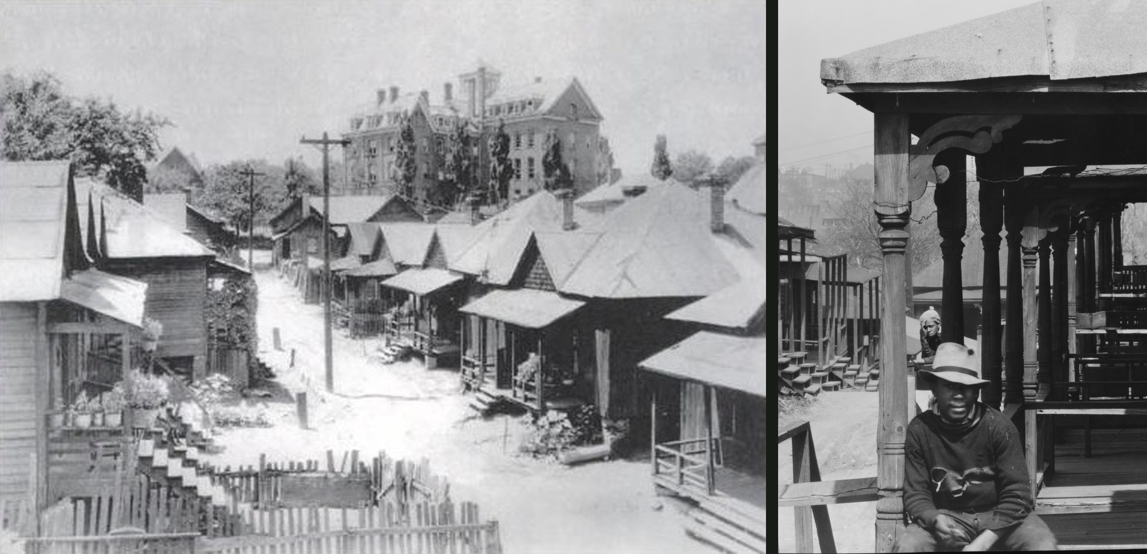
Looking at these two photographs, I guessed that Walker Evans’s scene on the right is not Beaver Slide on the left. Beaver Slide slopes upwards toward Atlanta University Center, and Evans’s scene slopes downhill towards the only tall buildings in the background.
The square tower
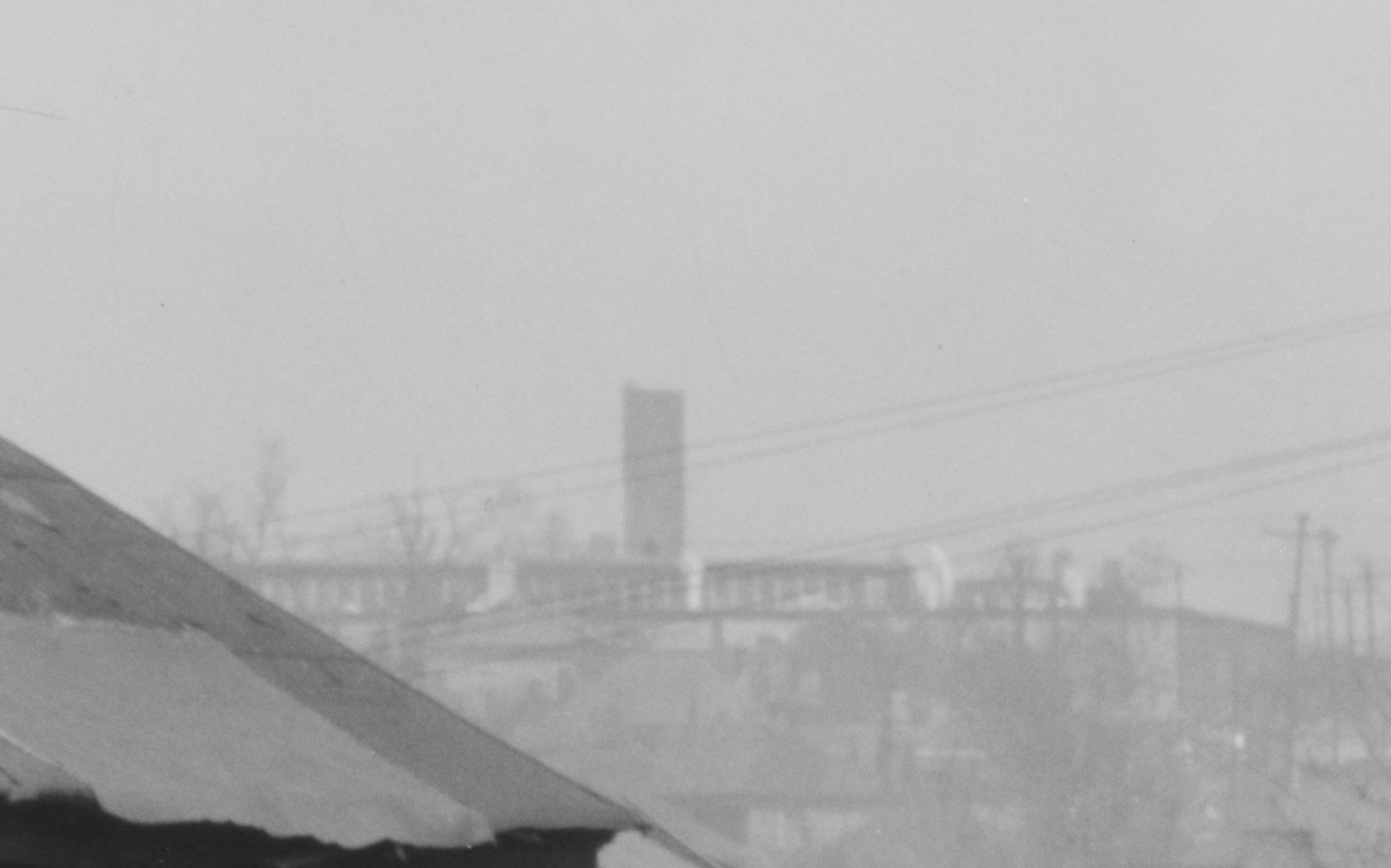
Then along with my friend Jason Francisco, a fellow artist I often enlist in sleuthing adventures like this, we zoomed in on the pixels in Evans’s photographs and thought there was something distinctive about a tall structure we could see in the background.
It’s square; that doesn’t look like a smokestack. I started looking at all the historic towers in Atlanta to see if any of them were square.
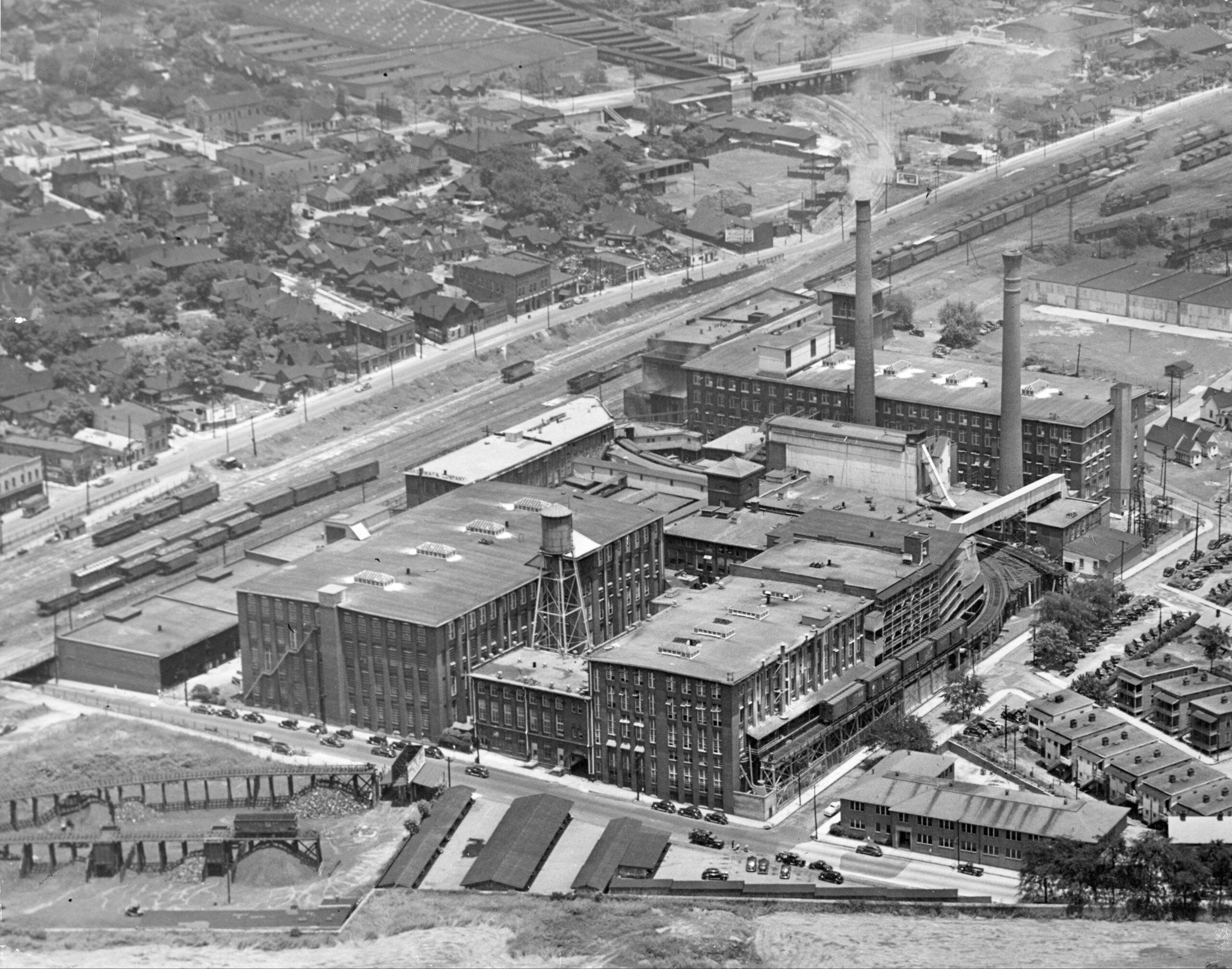
If you look at old Atlanta industrial smokestacks, they’re long and skinny, like in this photograph of the Fulton Bag and Cotton Mills, built in 1881.
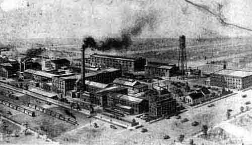
Another factory built in the 1880s: the E. Van Winkle Gin and Machine Works, which is now the Goat Farm.
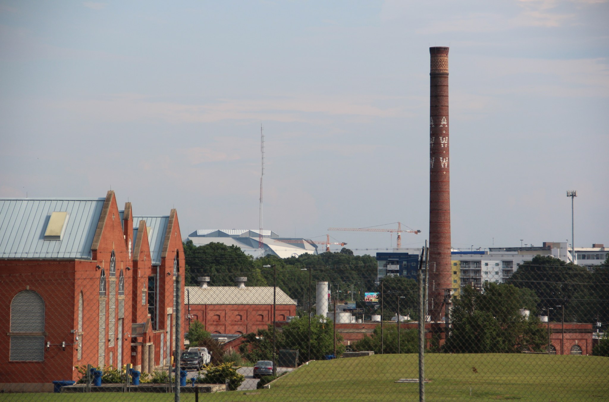
Here’s the Atlanta Waterworks Hemphill Avenue Station, built in 1892.
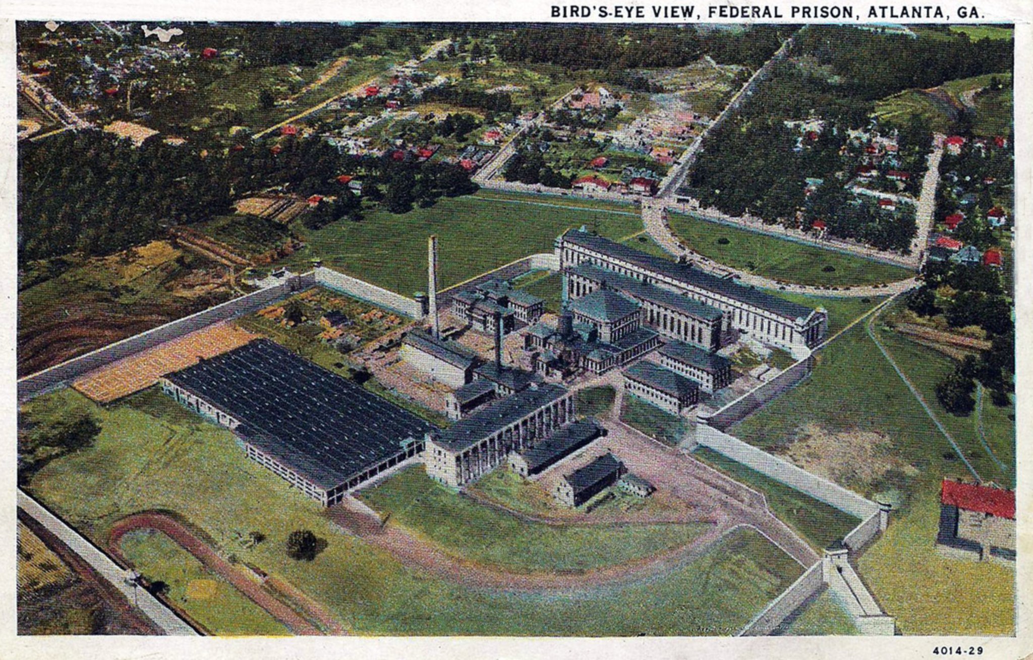
Or this view of the Atlanta Federal Prison, which was built in 1903.
The Sweet Auburn/Krog Street Water Tower, built in 1906, is round.
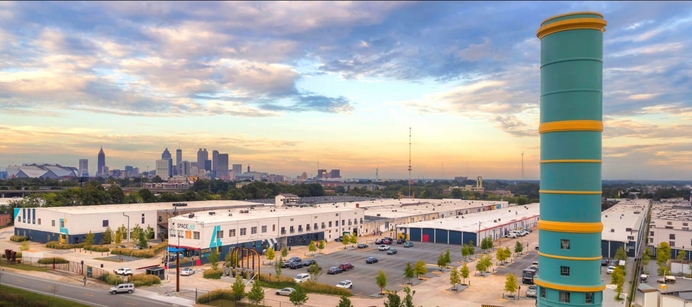
The famous blue Water Tower at the Candler Warehouses, which you see from MARTA when you go to the airport, was built in 1914. It’s also round.
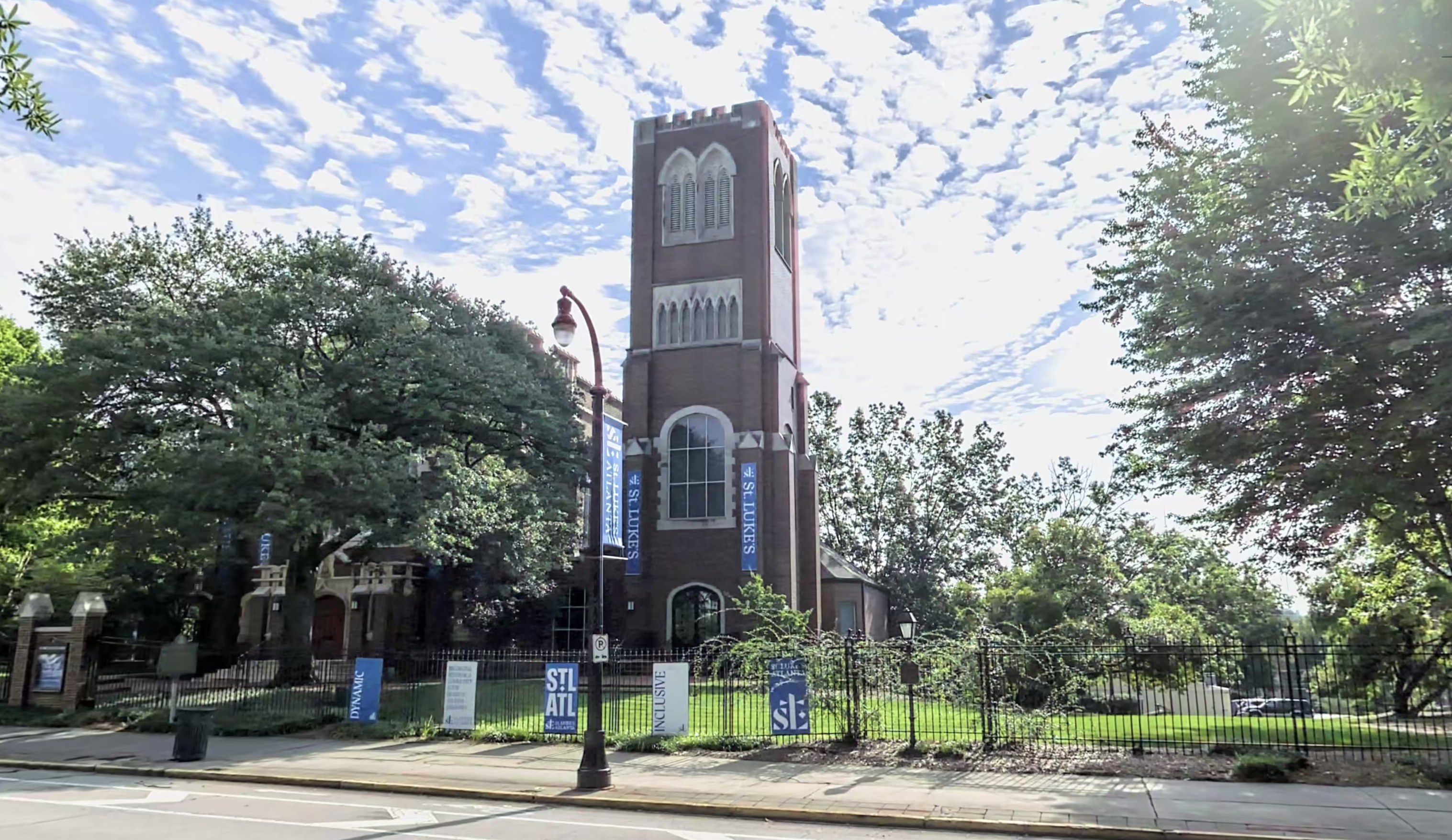
And then I thought I’d found it. Smokestacks and water towers are round, but Gothic church bell towers are square. I recognize this tower! It’s St. Luke’s Episcopal Church on Peachtree Street, across from Emory Midtown Hospital. It was built in 1906 and would have been standing in 1936 when Walker Evans visited. In the first decade of the 1900s, many of Atlanta’s churches moved from downtown north to Peachtree Street in Midtown, close to the Fox Theatre.
Look at the flat, low buildings around this tower. Could that be Peachtree Street in the distance?
I went to Google Earth and looked around to see what direction it might be viewed from.
I zoomed around in Google Earth until I had the bell tower lined up just right.
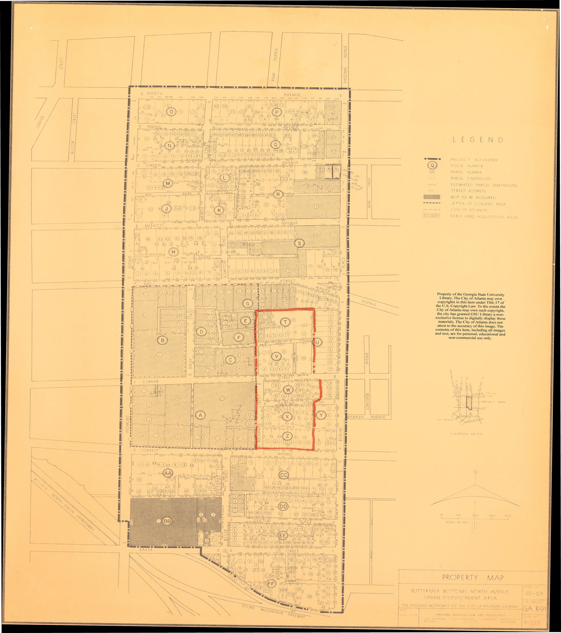
Buttermilk Bottom
I started to think this photo was more likely to be Buttermilk Bottom, which I knew was one of the historic intown African American neighborhoods, and one of the last areas the city considered a “slum” by the 1930s. This is the area where the Atlanta Civic Center now stands, in the Old Fourth Ward. It had no electricity and unpaved streets well into the 20th century. It was called Buttermilk Bottom because of the downward slope of the ditches and sewers in the area, which caused the backed-up water to have a buttermilk smell.
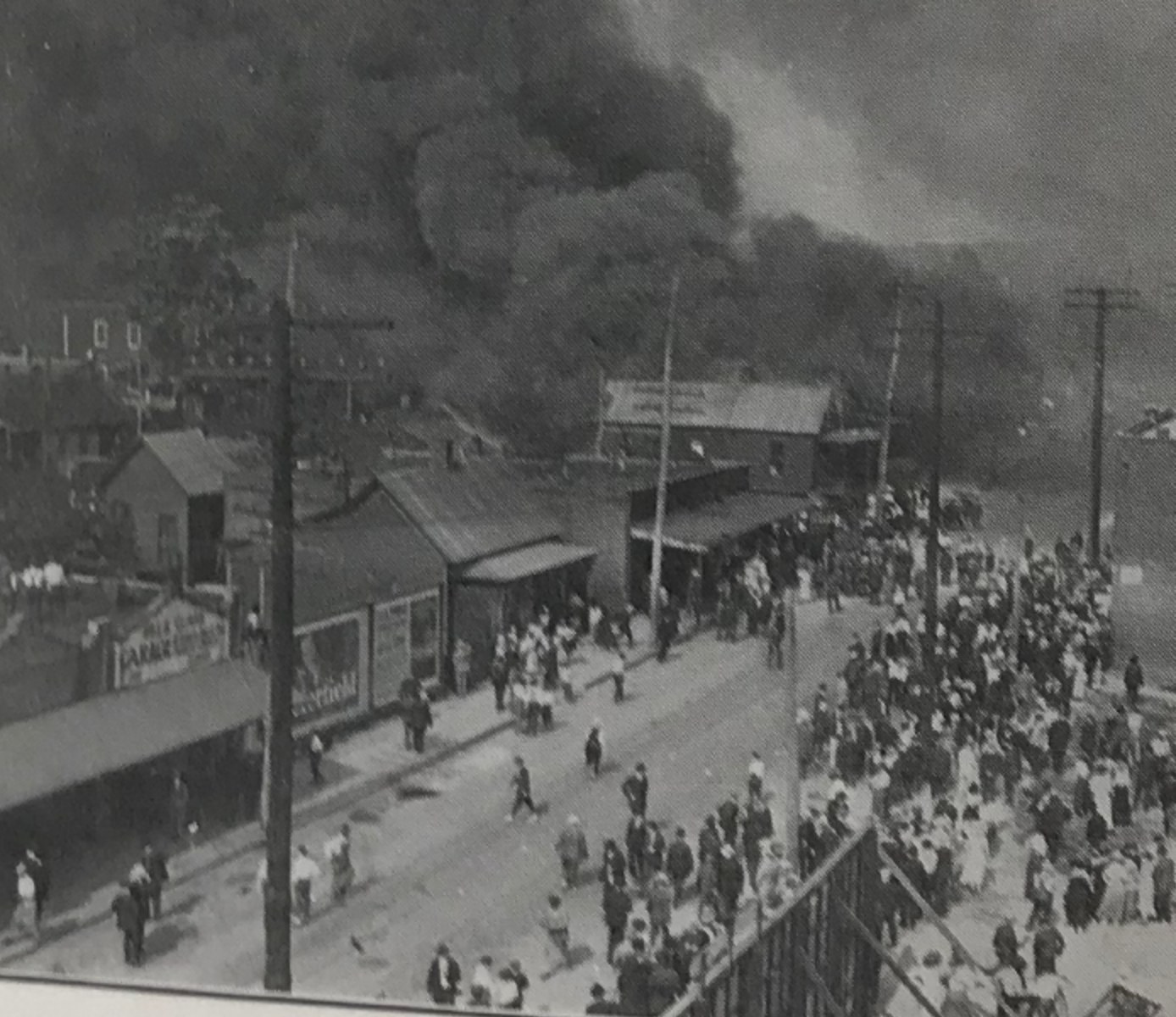
There weren’t a lot of Atlanta’s historic wooden Black neighborhoods left intown by the 1930s. That’s because on May 21, 1917, Atlanta’s entire east side went up in flames. It started on Decatur Street near what is now King Memorial MARTA station, and over eleven hours, the fire burned more than fifty blocks and left 10,000 people homeless — most of them residents of the city’s poorest neighborhoods, with wooden houses packed closely together. Most houses intown that looked like this burned in 1917, and then there were decades of city zoning enforcement designed to tear down low-income housing and push Black residents to the West Side.
So East Side African American neighborhoods where you had a view of churches on Peachtree Street numbered exactly one: Buttermilk Bottom. It seemed to me that Evans was shooting due west, towards Peachtree.
The City of Atlanta demolished Buttermilk Bottom and built the Atlanta Civic Center. It was a theater; all the Atlanta Public Schools held their high school graduation ceremonies there (that’s where I had my high school graduation), and it has been closed and abandoned since 2014. So where exactly had Evans stood?
I drove around the Civic Center looking for viewpoints where I could see the St. Luke’s bell tower in the distance.
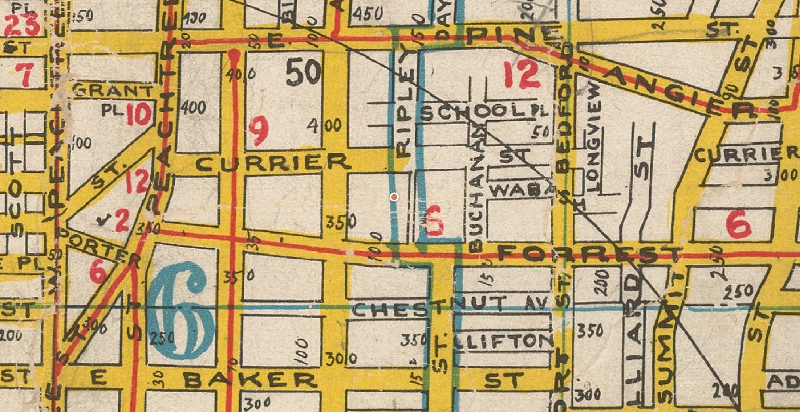
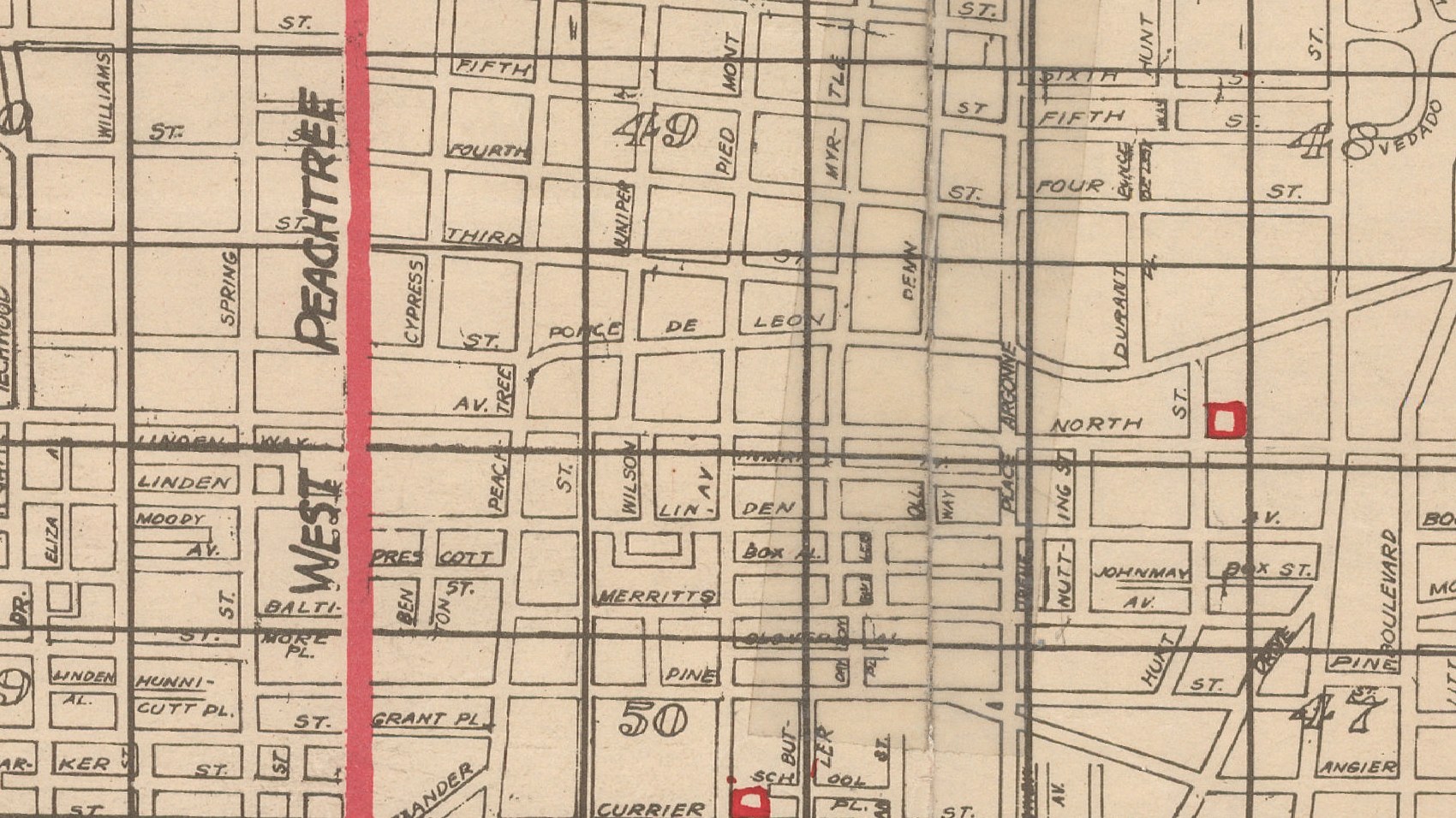
I started looking at maps to see where Evans might have gone. Here is the last good map before Evans visited; this gorgeous map is from 1925. But there’s not enough detail here to find a specific block of houses.
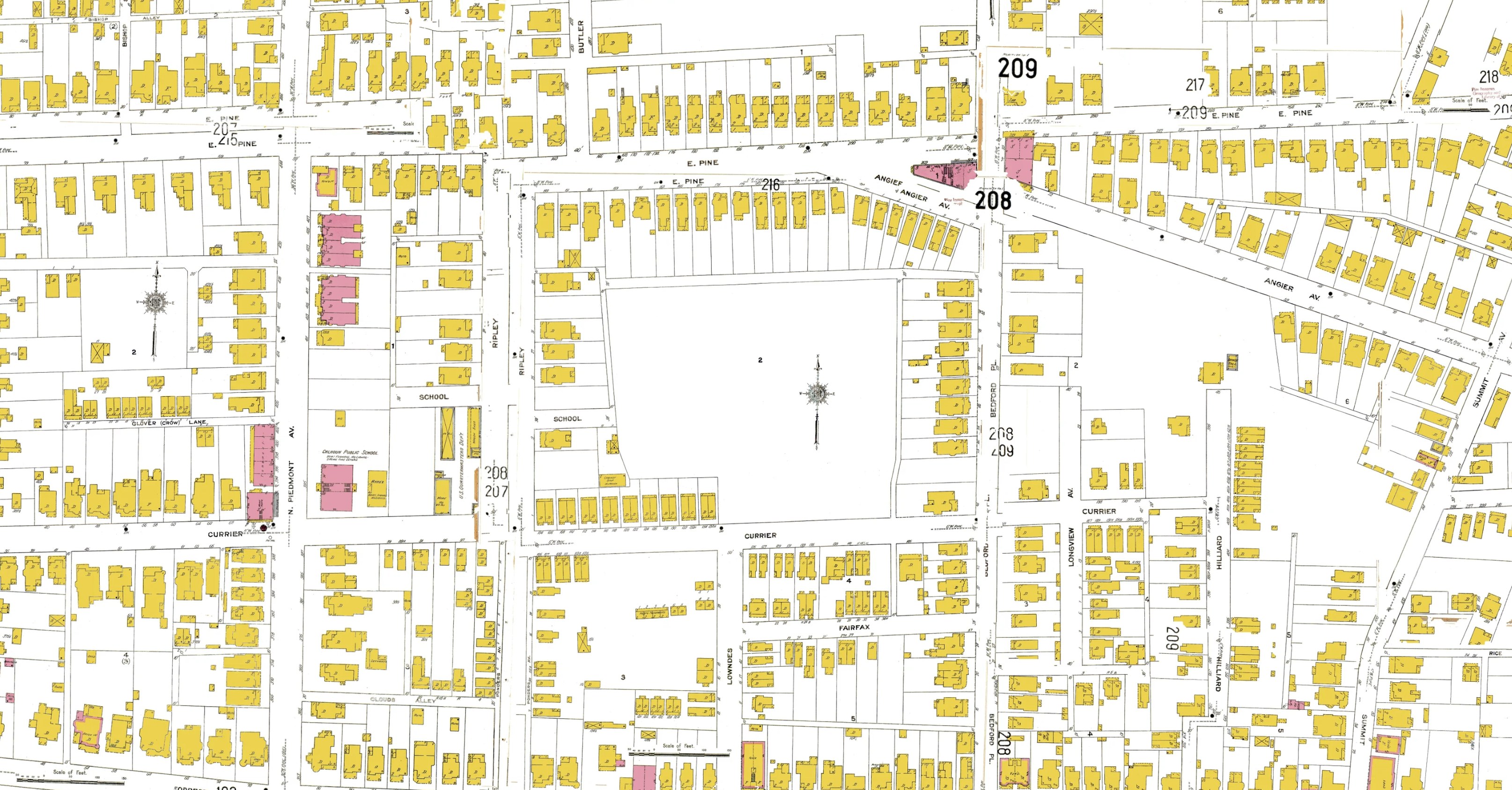
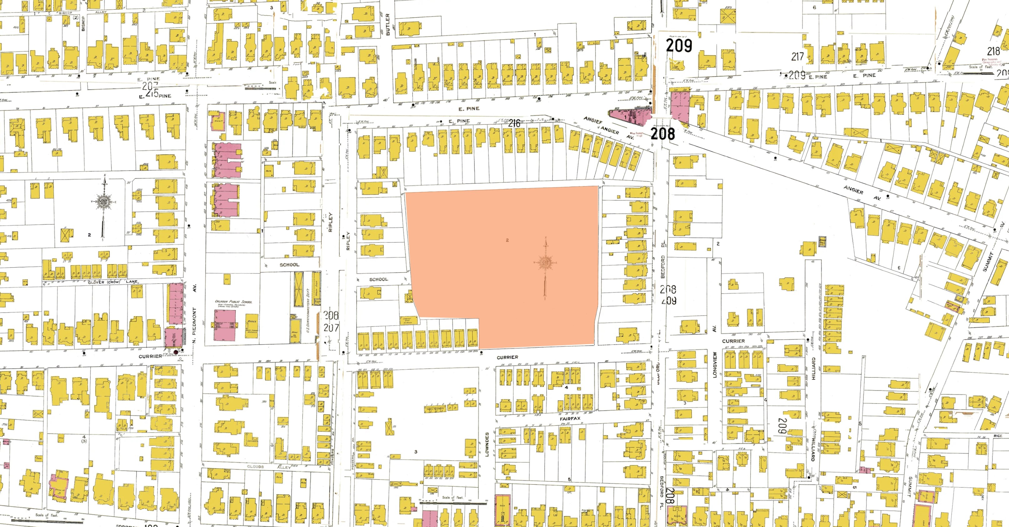
My next thought was to look at the 1911 Sanborn map of the neighborhood. This is the map that showed almost every structure in the city (they even show the shapes of the houses), and I thought if I counted the houses, I might find a block with exactly 8 houses on it.
But there’s a giant blank spot on the Buttermilk Bottom section of the map.
The point of these maps was so the fire department could find your house if it was on fire, and these were not houses that the City of Atlanta even wanted to save from burning at this point. They wanted this neighborhood gone.
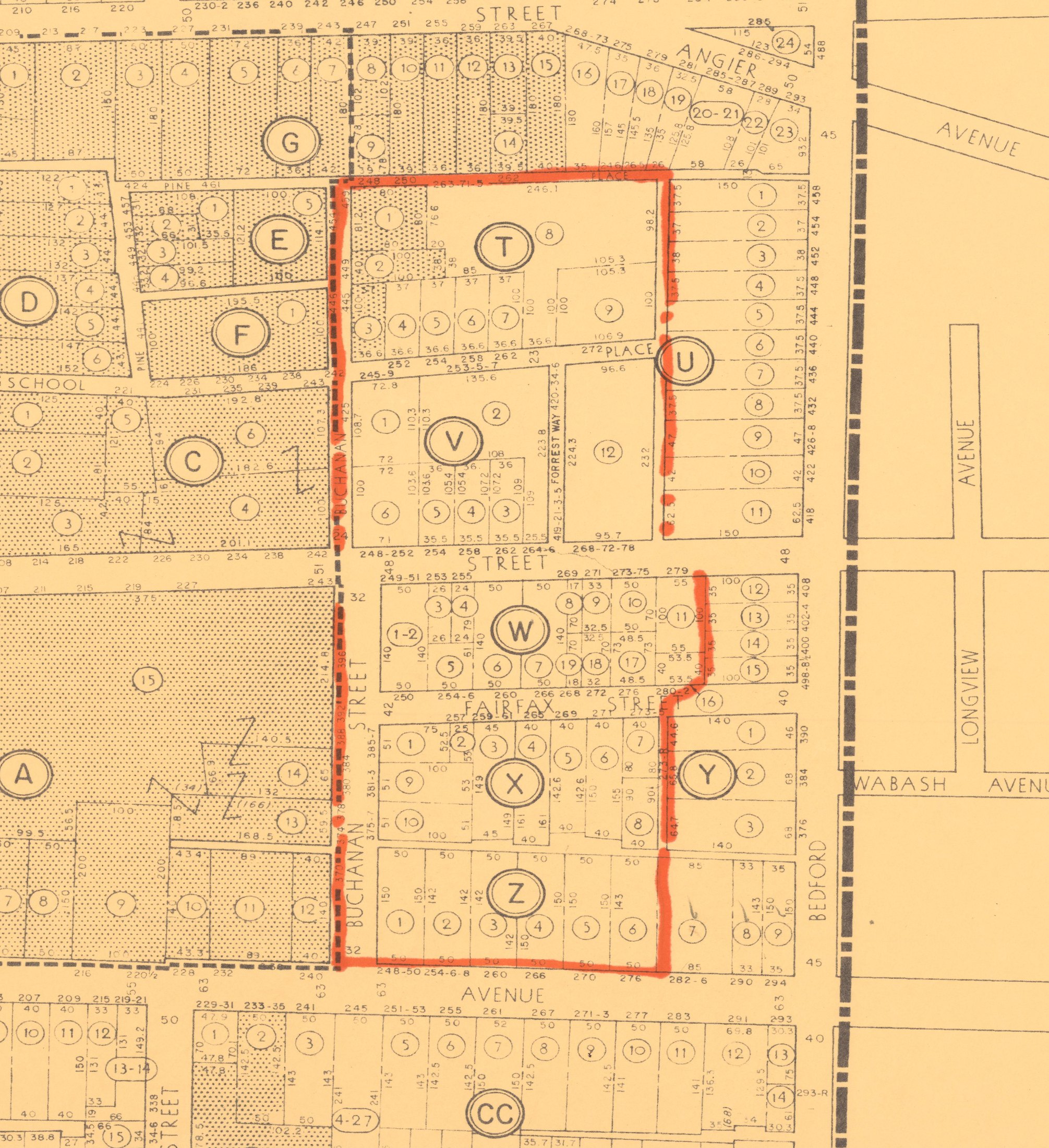
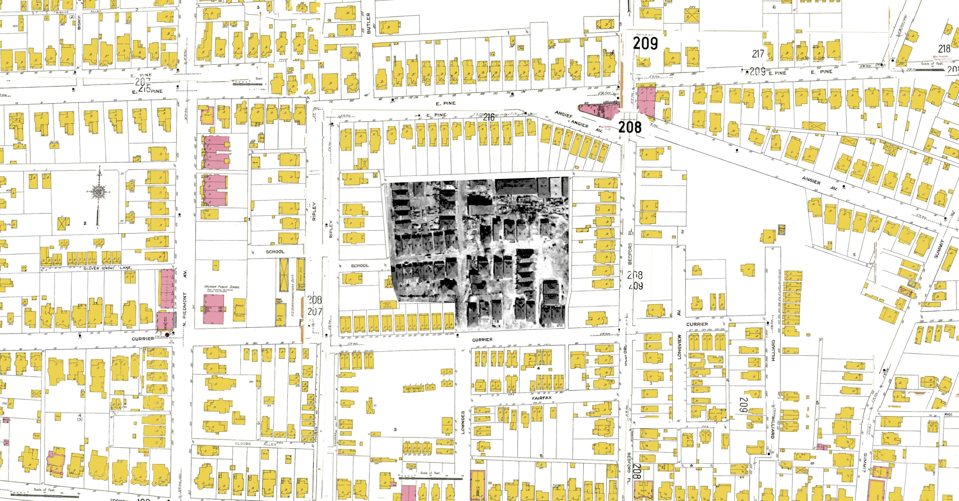
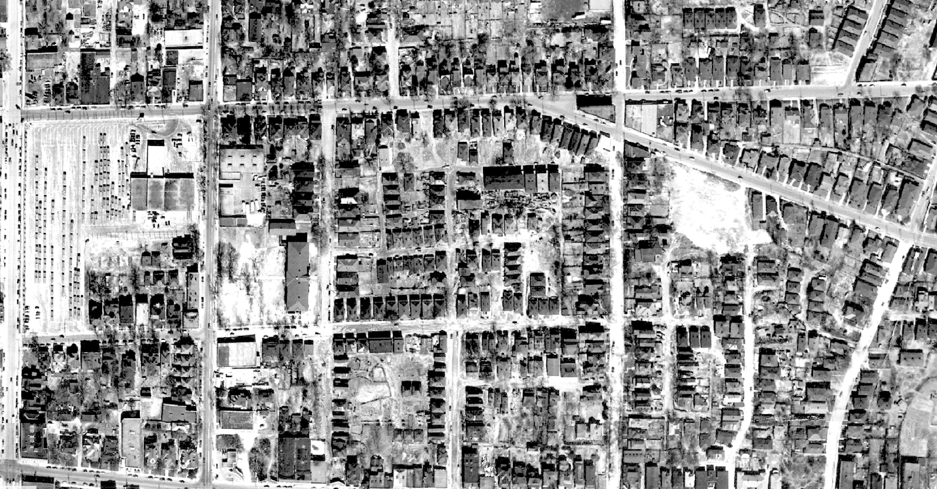
I finally realized that these houses were still standing in 1949, when an incredible series of aerial photographs was made of every block of the city. I found the right map — it was a little hard, because there are 124 of them and they don’t have street names — so I dragged it over Google Earth to see the street names line up.
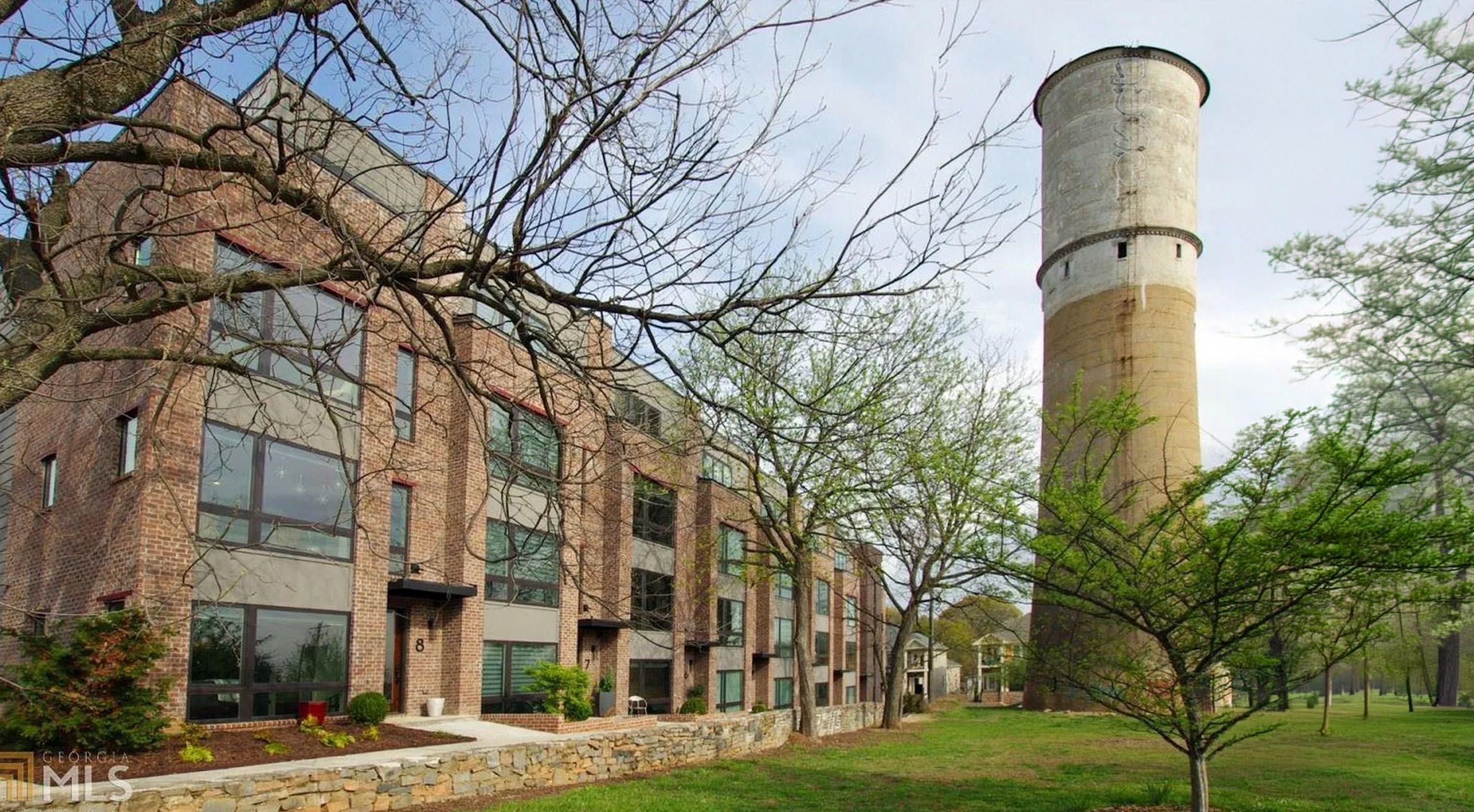
Then I just dragged around until I found the only block with 8 houses, left and right.
Where Evans stood
So I snuck in. It took me a while to find an open gate, because it’s highly secured these days.
To figure out that the houses were just about here, I made a 3D map using Adobe Aero and placed the 2D photograph into the 3D map.
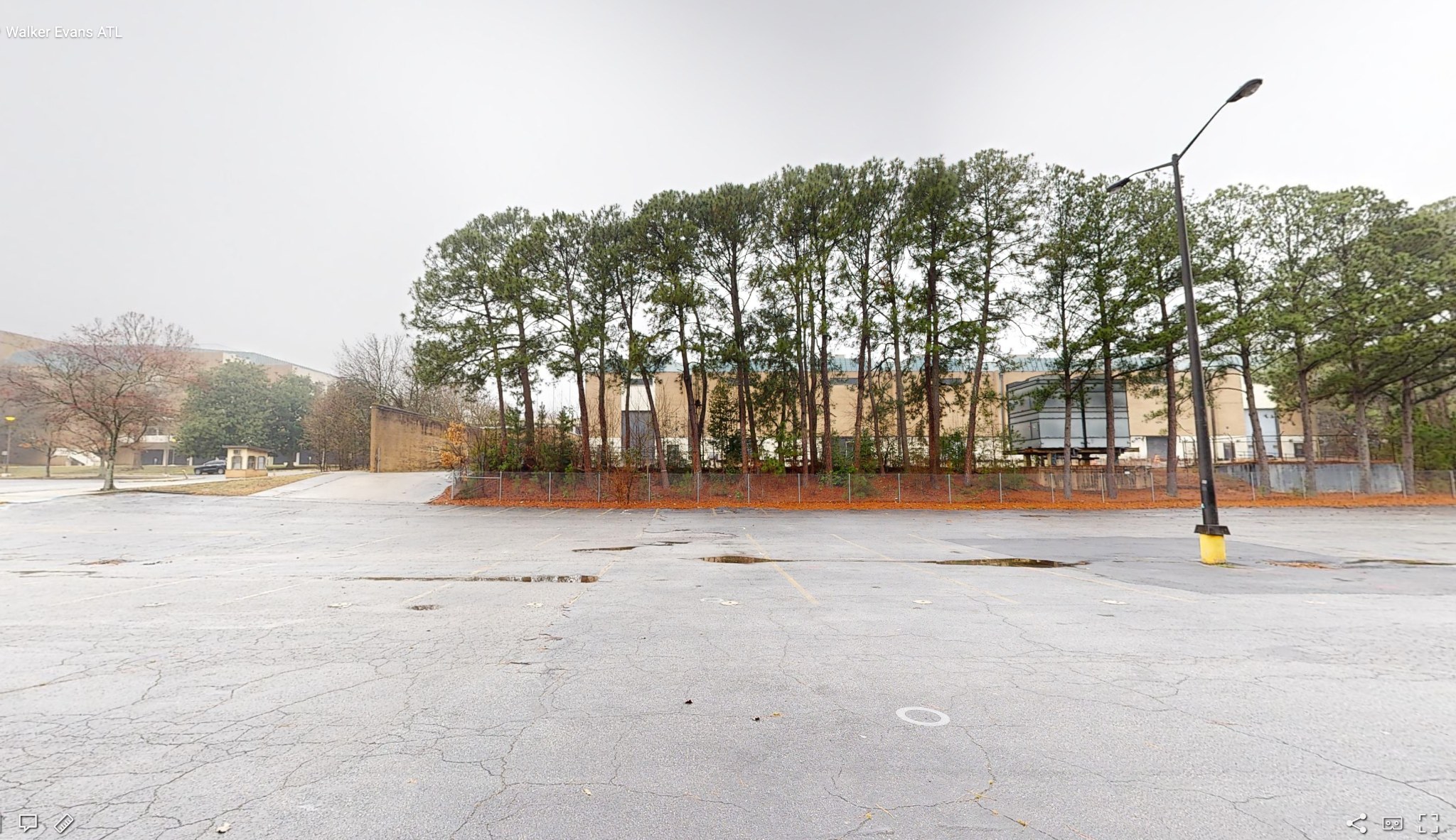
And then when I got home, I realized I was 108 feet off! I had snuck into the Civic Center parking lot, and that was a spot where the photograph was viewable, but not exactly where Evans was standing. That wasn’t going to do.
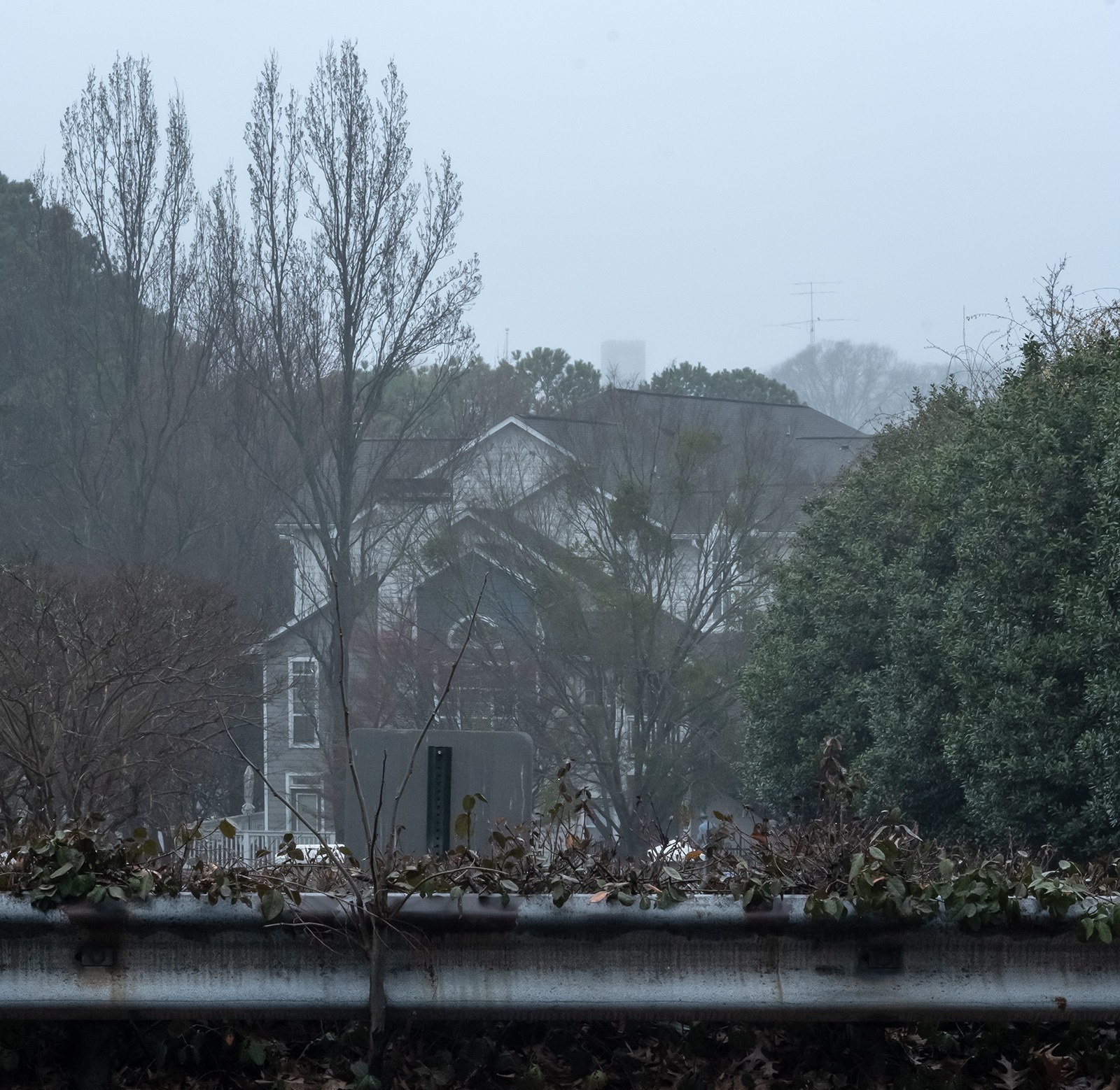
So, Buttermilk Bottom has been replaced by some bougie apartment complex. I waited until a car left so I could walk in through the gate.
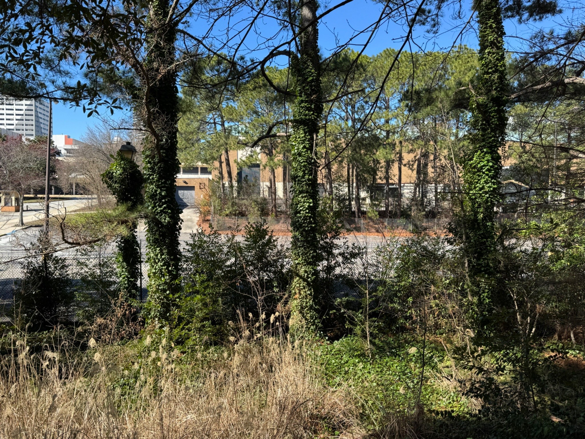
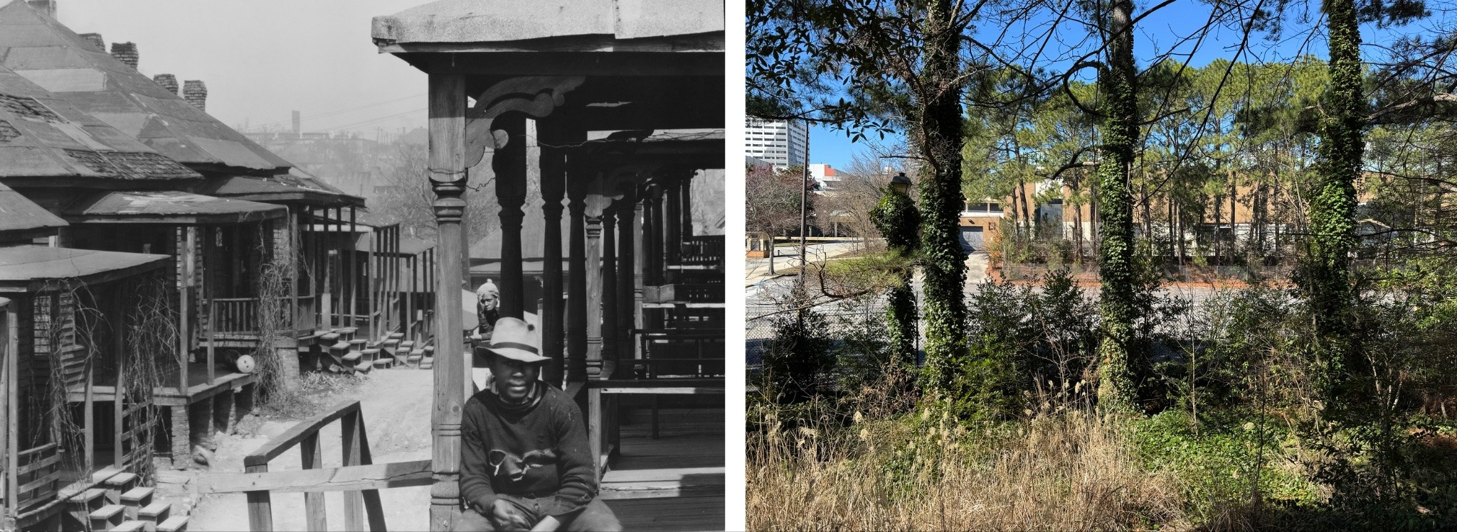
And here it was. I was now on the other side of a fence, standing exactly where Walker Evans stood that day in March 1936, nearly 90 years earlier.
Evans is using a longer lens, but he was standing exactly where I was.
Piedmont Avenue
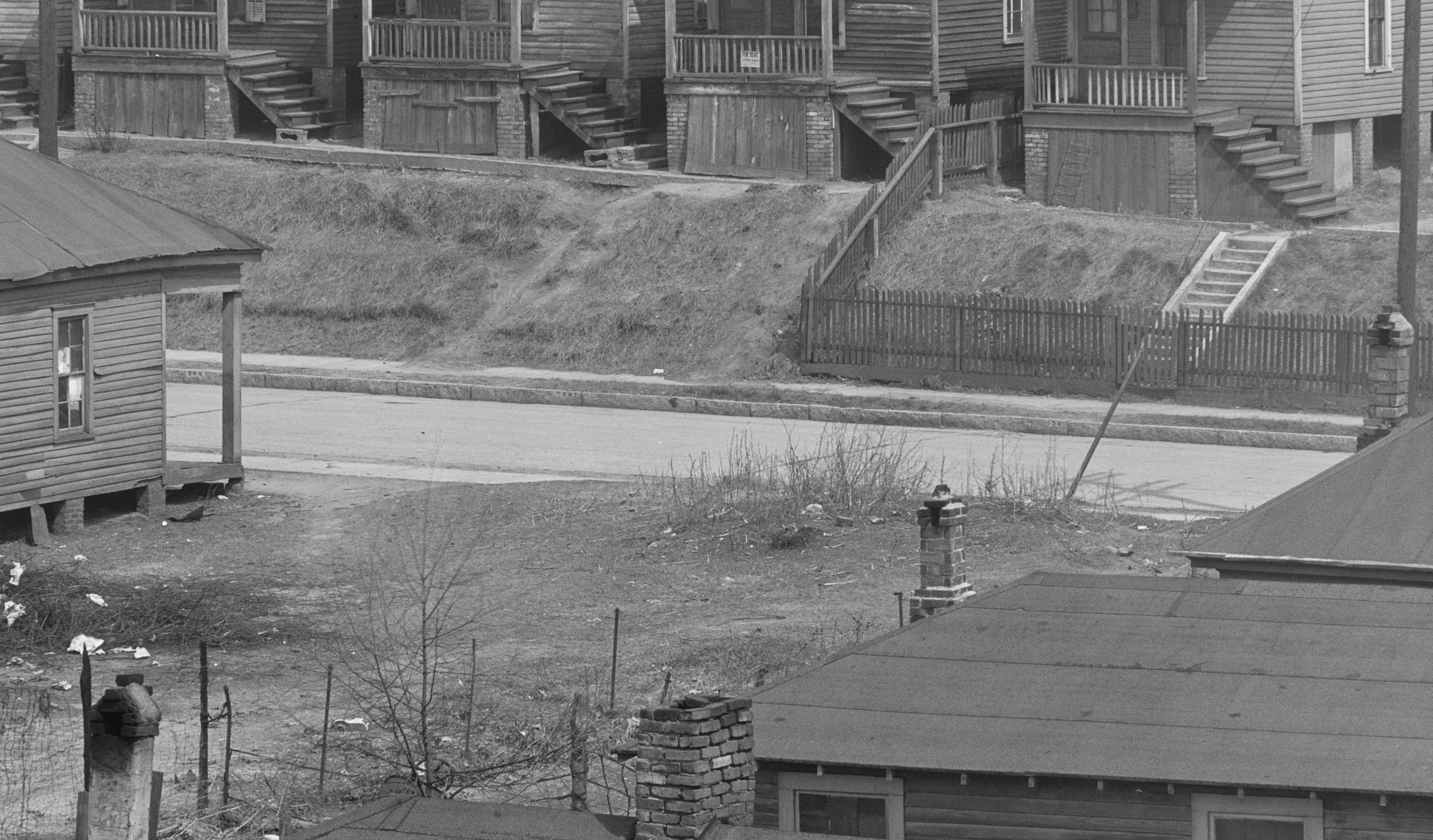
With the other images, there are other clues. Can you spot the evidence in this scene?
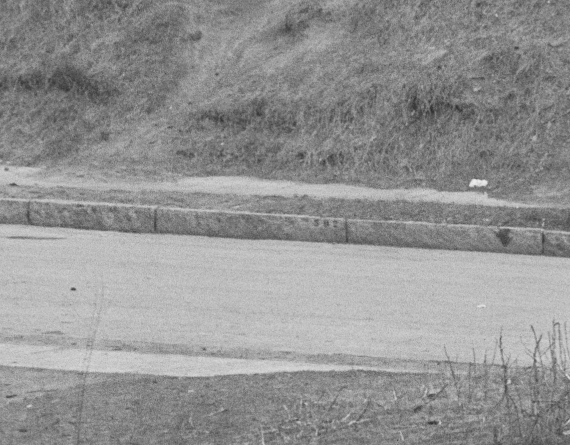
You zoom in on the curbs, and there are street numbers.
It’s also paved, which in Buttermilk Bottom basically only meant Piedmont Avenue.
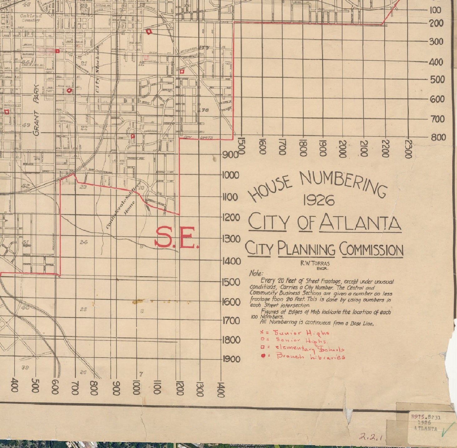
In 1926, the City of Atlanta renumbered all city streets and created a map to help find the new addresses.
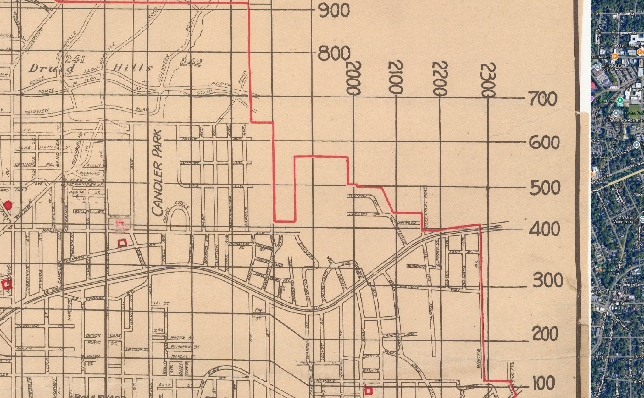
The 1926 map shows how far north you need to go to get to the 500 block. The addresses on the curb in Evans’s photograph were 580, so we’ll look just below the 600 line and head left.
Aha: the intersection of North Avenue and Piedmont Avenue.
Today, that stretch of Piedmont Avenue is home to the Publix at 595 Piedmont Avenue.
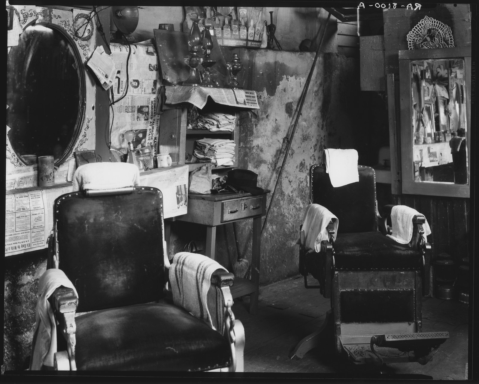
The barber shop
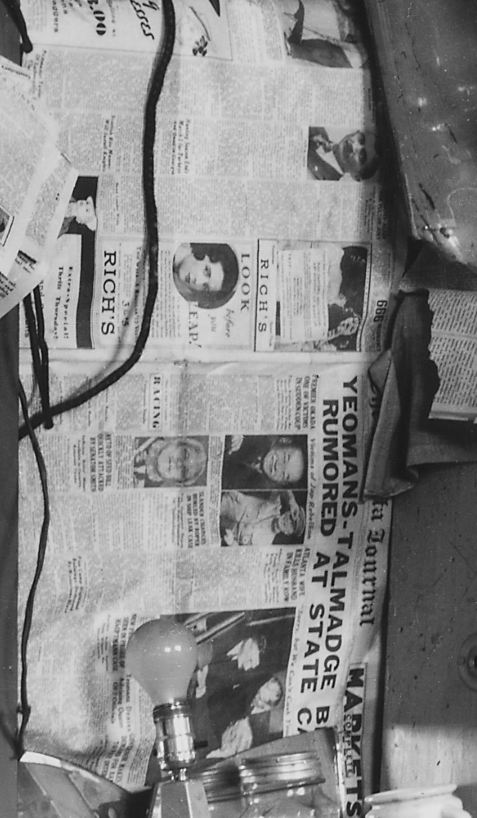
Walker Evans also went inside to photograph a barber shop. After a few weeks of obsessive sleuthing, I found the locations of the exterior photographs. But the barber shop stumped me. It was identified by Evans only as “Negro Barber Shop, Atlanta Ga.,” and it seemed unidentifiable without any name, address, or even a view through a window. Surely the location of that shop was lost to history, and so at first I left it out of my search to track down the exact location of all of these photographs. But I zoomed in anyway to peek at the pixels, and see what clues I could find.
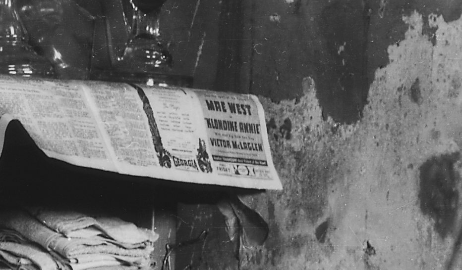
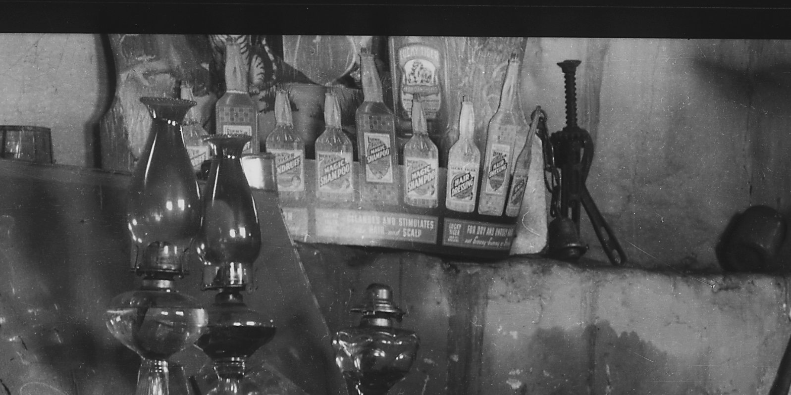
If you zoom in on Evans’s picture in the barber shop, you see a newspaper. You learn that that day, Premier Okada of Japan was the victim of a sudden coup. That an Atlanta housewife killed her husband in a fight. And that there was a sale at Rich’s Department Store downtown.
You learn that Mae West was starring in Klondike Annie at the Fox Theatre, which had just been converted into the South’s grandest movie theater.
You learn that Magic Shampoo cleanses and stimulates your hair and scalp; it’s good for both dry and unruly hair.
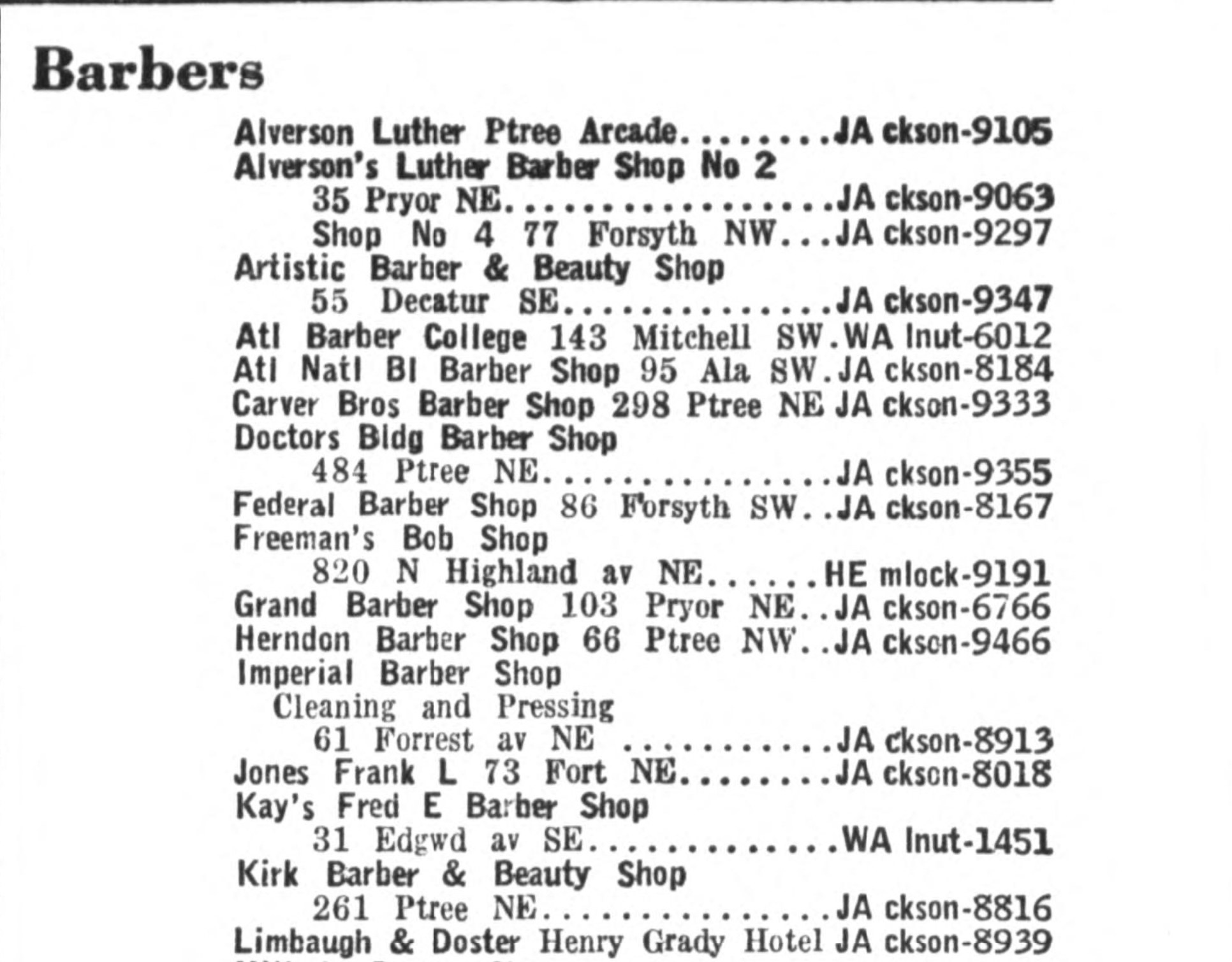
Then it occurred to me to check the 1936 Atlanta city directory. There were, incredibly, only 34 barber shops in the city at the time, and only one in Buttermilk Bottom:
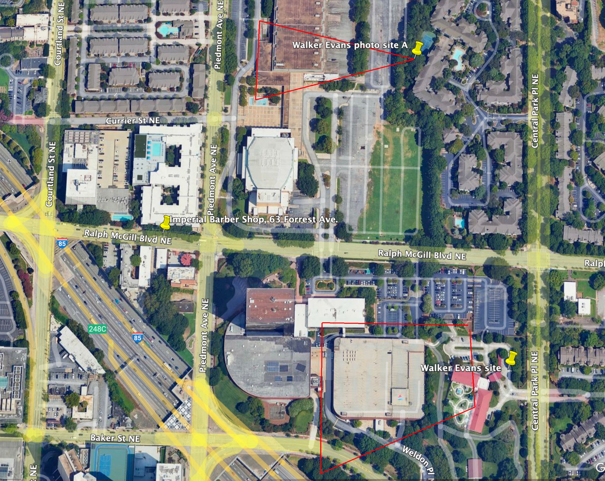
Imperial Barber Shop, 61 Forrest Ave., phone number JAckson-8913. Forrest Ave. is now Ralph McGill Boulevard. This address is right across from the Atlanta Civic Center!
That puts three of the four locations he shot right here, just a few blocks from where he made the other photographs. I figured, he was shooting with a heavy 8x10 camera; he wasn’t going to lug that equipment very far. The Piedmont Avenue shot, by today’s Publix, is just a few blocks to the right.
Here is 61 Forrest Avenue today. The barber shop where Evans made his photograph is now a dog spa. Time marches on, but hair is still being washed and cut at 61 Forrest Avenue, now renumbered and renamed 145 Ralph McGill Boulevard, just as it was a century ago. Some things never change.